
Geography
The study of Earth’s landscapes, environments, and places, and how people interact with their surroundings.
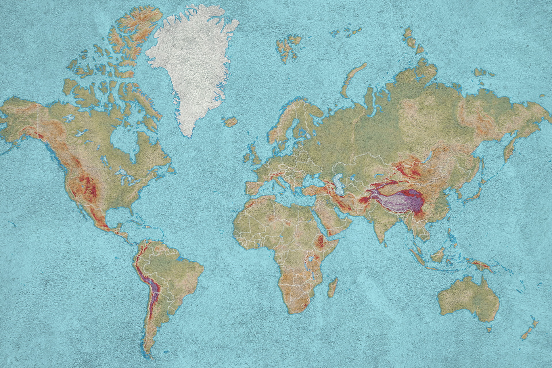
Source: iStock
Overview
This overview provides a brief introduction to geography, the study of places, environments, people, and the relationships between them. It highlights major areas of study, including human geography, physical geography, environmental geography, and geospatial analysis, as well as related disciplines and resources for exploring the profession of geography in greater depth.
What's geography?
What's geography?
Geography explores the physical features of the planet, such as landforms, climates, ecosystems, and the human activities that shape our world, including culture and economic development. It also examines how people and environments influence each other over time and across different places.
For an in-depth description of the geography field, see the article Geography from National Geographic.
What do geographers study?
What do geographers study?
Geographers study the Earth and its physical features, environments, places, and the relationships between people and their surroundings.
What are the main fields of geographic study?
What are the main fields of geographic study?
Geography is considered both a natural science and a social science, where geographers study the interactions between the physical aspects of a region and the human activities within it. The two main fields of geography are:
- Human geography which explores how people organize and shape the world through culture, population, cities, migration, economics, politics, and the use of land and resources.
- Physical geography which examines natural processes and features, including climate, landforms, ecosystems, soils, water resources, and natural hazards.
What other subjects are important to geography?
What other subjects are important to geography?
Geography is a highly interdisciplinary field that investigates how human interactions influence physical landscapes. As a result, geographers draw on disciplines such as the following:
- Geology examines Earth’s processes and landforms.
- Meteorology studies climate and weather patterns.
- Biology explores ecosystems and biogeography.
- Chemistry explains the molecular processes that shape the earth.
- Sociology analyzes demographics and urbanization.
- Political science explores borders and geopolitics.
- Economics examines trade and development.
- Anthropology studies cultural practices and migration.
How do I learn more about the geography major?
How do I learn more about the geography major?
- What You Need to Know About Becoming A Geography Major – U.S. News & World Report
- Major Geography – Big Future/College Board
Literature Reviews in Geography
After selecting a topic, conducting a literature review is an essential step in the research and writing process. Writing a literature review helps you:
- Understand how scholars have approached your topic
- Identify key debates and theoretical perspectives
- Recognize gaps in the existing research
- Situate your own work within the broader academic conversation.
If you are new to doing geography literature reviews, the following databases are great places to start to help you locate major publications and relevant scholarship on geography topics.
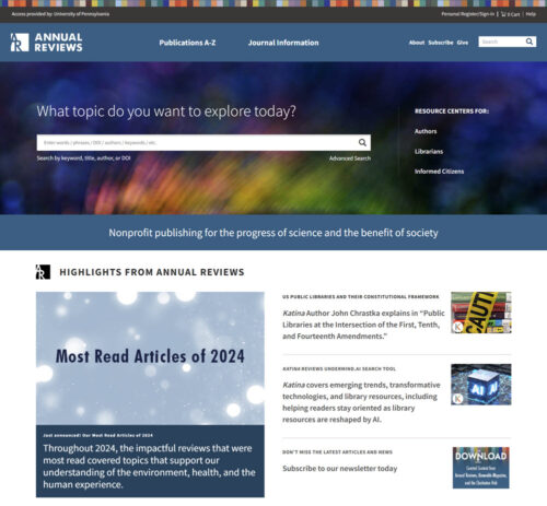
The Annual Reviews are peer-reviewed academic journals that publish comprehensive and critical literature review articles in many academic disciplines. Each year, a new volume consisting of a series of review articles written by leading experts in the field is released, providing overviews of the most important and influential research and scholarship in various disciplines.
Although the Annual Reviews does not offer dedicated reviews for communication, education, geography, or international relations, it does include bibliographies covering a variety of topics related to each discipline.
Oxford Bibliographies is a leading scholarly source for expert-curated bibliographies, providing scholarly bibliographies in most social science disciplines, including anthropology, communication, criminology, economics, international relations, political science, psychology, and sociology. Each bibliography provides a list of authoritative books, journal articles, websites, and other materials, all organized by academic scholars.

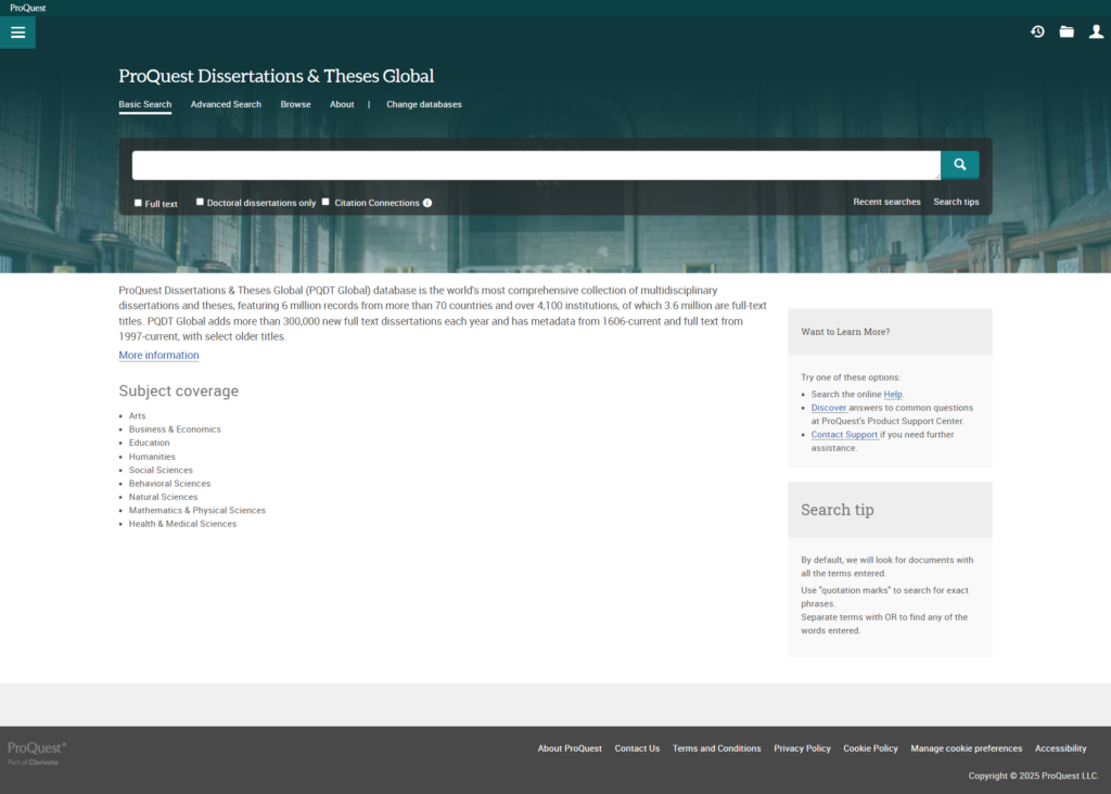
When searching for literature reviews, don’t overlook dissertations found in ProQuest Dissertations & Theses. Doctoral students are typically required to write extensive literature reviews. Each review will examine major debates, theories, methods, and key publications related to their research topic, which can help you identify important authors, major studies, useful keywords, and gaps in the existing research.
To learn more about finding resources for a literature review, see “How to Locate Resources for a Literature Review.”
Geography Reference
Geography reference resources provide definitions, concepts, and key terms consistent with how they are used in the field of geography. Geography is also inherently place-based, requiring the use of reference resources like atlases and GIS resources providing accurate spatial data, helping scholars understand where phenomena occur and how location shapes outcomes.
Atlases and Maps
Atlases and Maps
Atlases and maps provide valuable spatial and geographic context, helping scholars and researchers understand how geography, borders, resources, and territory influence politics, power, and international relations. Maps are especially important for revealing politically disputed areas, changing boundaries, and regions with overlapping claims.
Atlas and Map Databases
ArcGIS Living Atlas of the World is a large, curated collection of authoritative geographic datasets, interactive maps, and analytical layers designed for use within the ArcGIS platform. Maintained by Esri, it provides global information on topics such as demographics, climate, infrastructure, land use, and environmental change, allowing users to incorporate reliable spatial data directly into maps, dashboards, and GIS analyses.
The ArcGIS Living Atlas of the World is mostly free to browse, view, and use in public maps. However, accessing certain advanced layers requires a paid ArcGIS subscription.

HistoAtlas is an open-access, collaborative digital atlas that uses historical Geographic Information System (GIS) technology to map how human societies and political landscapes have changed over time. Histo Atlas reconstructs world history through interactive maps, allowing users to explore how political borders, cultural regions, and major historical events evolved across time within a shared geographic framework.

The Perry-Castañeda Library Map Collection provides digitized historical and contemporary maps covering global regions, thematic maps, and country maps. Hosted by the University of Texas, this collection includes historical world maps organized by region and theme that are useful to political and international relations researchers.

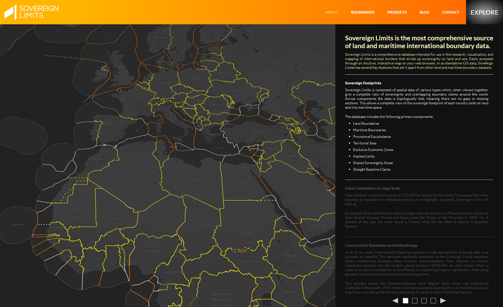
Sovereign Limits is a detailed digital repository mapping out every internationally recognized land and maritime border. It offers both an interactive web map and downloadable GIS data. Each border in the database is accompanied by a “Boundary Brief,” which outlines the boundary’s history, key legal/treaty documents, and annotated maps.
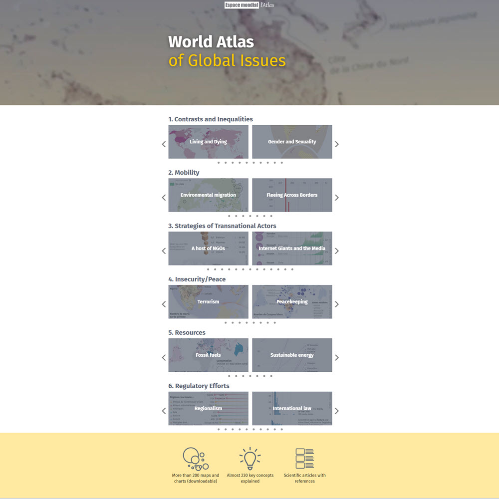
Developed by academics at SciencePo (the Institut d’Études Politiques de Paris), one of France’s most prestigious universities, located primarily in Paris, the World Atlas of Global Issues is an illustrated thematic atlas that uses maps and data visualizations to examine major global issues, including demographics, development, environmental change, health, conflict, and economic disparities, highlighting geographic patterns and regional differences.
Print Atlases and Maps
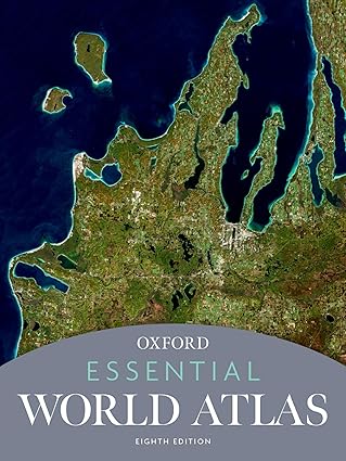
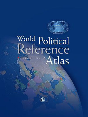
Although many publishers have shifted toward digital geographic data and online mapping platforms, print map books are still available, especially in academic libraries.





Bibliographies
Bibliographies
A bibliography lists sources cited in research papers, such as books, articles, documents, websites, and other academic materials.
Oxford Bibliographies is a leading scholarly source for expert-curated bibliographies, providing scholarly bibliographies in most social science disciplines, including anthropology, communication, criminology, economics, international relations, political science, psychology, and sociology. Each bibliography provides a list of authoritative books, journal articles, websites, and other materials, all organized by academic scholars.
Dictionaries
Dictionaries
Dictionaries are important for understanding and contextualizing words, concepts, and terminology. Both IR and political science dictionaries provide clarity when exploring complex political concepts, systems, and theories, offering clear definitions of key political terms.

Encyclopedias
Encyclopedias
Subject encyclopedias are specialized reference works providing in-depth information on specific discipline topics. Unlike general encyclopedias that cover a wide range of topics, subject encyclopedias focus exclusively on one field, offering detailed and comprehensive entries written by experts. For a list of general and specialized encyclopedia databases, go to Getting Started – Reference Resources.
Introduct
Introduct
Introductions provide brief but comprehensive introductions to a subject. Written by experts, introductions present key ideas, theories, and debates understandably. The following books are ideal for readers new to geography, providing foundational knowledge without requiring prior expertise.
General Databases
Academic libraries subscribe to a wide range of research databases. EBSCO and ProQuest are the largest and most widely used subscription-based academic research databases. Most colleges and universities offer access to one or both platforms which provide multiple subject-specific databases. Although each has unique features, they share several key characteristics:
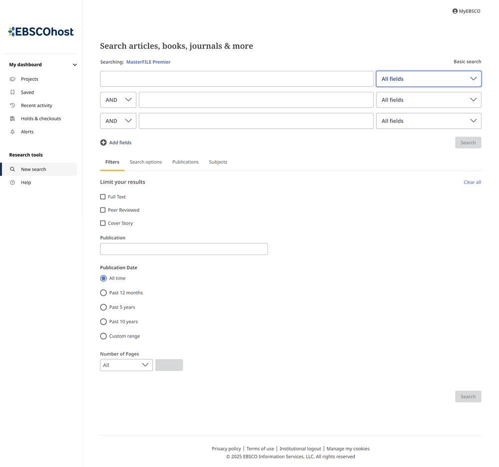
EBSCO is a major research database platform that allows users to search multiple EBSCO databases simultaneously. The difference between EBSCOhost and Academic Search is that Academic Search can be searched as part of the EBSCOhost platform or searched separately if your institution has a subscription. To check if your institution subscribes to EBSCOhost, use EBSCO’s Find your institution page.
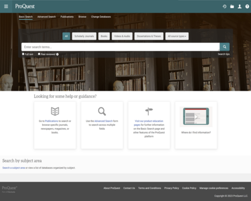
ProQuest is a major database vendor and platform that provides access to hundreds of database collections. The ProQuest platform provides a multidisciplinary search with access to scholarly ebooks, journals, video and audio, newspapers, and more, all searchable simultaneously. ProQuest is unique in providing dissertations and theses, historical newspapers, and other primary sources.
Scholarly Databases
Scholarly research databases provide peer-reviewed academic journal articles, book reviews, and other scholarly resources authored by scholars, researchers, or academics who are experts in their fields.
Unlike magazines, which focus on current events and general-interest stories, articles in scholarly journals undergo rigorous peer review before publication. The following is a list of the most important multidisciplinary scholarly research databases.
Google Scholar is a free academic search engine that helps researchers and students find scholarly literature across disciplines. It indexes journal articles, books, conference papers, theses, patents, and other resources from academic publishers, universities, and professional organizations.
- Unlike subscription databases, which publish lists of journals in their collections, Google Scholar does not provide a list of the journals, books, repositories, or conference proceedings it indexes.
- General databases such as EBSCO and ProQuest allow you to limit your results to peer-reviewed articles only. Google Scholar does not filter results for peer-reviewed articles.
- When off your school’s network, you must enable your institution’s Google Scholar library links (review process) to see full-text articles available in your institution. If Library Links are not enabled, you’ll only see paywalls, publisher links, and what’s available open-access in the public domain.
The International Bibliography of the Social Sciences (IBSS), compiled by the British Library of Political and Economic Science at the London School of Economics, provides access to a vast collection of scholarly literature in the social sciences. Covering multiple disciplines, IBSS includes references to journal articles, books, newspapers, and dissertations, with records dating back to 1951.
JSTOR is an important scholarly research database for the humanities, social sciences, and sciences. It provides the full text of articles from thousands of influential academic journals. In addition to journal articles, users can access eBooks, book chapters, images, and primary source documents. JSTOR also provides an AI research tool that provides key points and arguments of articles.
JSTOR contains the full text of more than 2,000 journals from 1,000 publishers, with publication dates ranging from 1665 to 2015 (for certain titles). JSTOR also provides:
- Free access to Early Journal Content published before the last 95 years in the United States or before the last 143 years if initially published internationally.
- A collection of nearly 150 open-access journals covering the humanities, social sciences, and sciences.
- JSTOR allows anyone to register for a free personal JSTOR account and provides access to 100 free monthly articles.
Project MUSE offers online access to a vast collection of scholarly journals, books, and academic resources in the humanities, social sciences, and arts. As a leading provider of digital humanities content, it features high-quality, peer-reviewed publications from prestigious university presses, scholarly societies, and academic publishers.
ProQuest Dissertations & Theses is a database of dissertations and theses from universities worldwide. It provides access to millions of full-text works across many disciplines, including the social sciences, humanities, sciences, and business. Each dissertation includes an abstract or summary that provides a concise overview of the research, its methodology, and key findings.
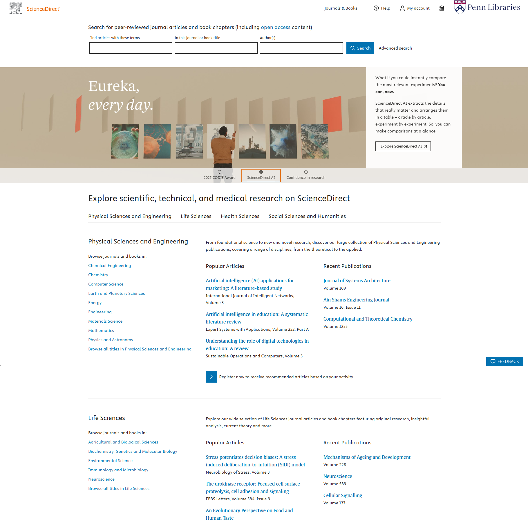
ScienceDirect is a leading full-text scholarly scientific database that provides journal articles and book chapters from more than 2,500 peer-reviewed journals and more than 11,000 books. It covers over 24 major subjects in the physical sciences and engineering, life sciences, health sciences, social sciences, and the humanities.
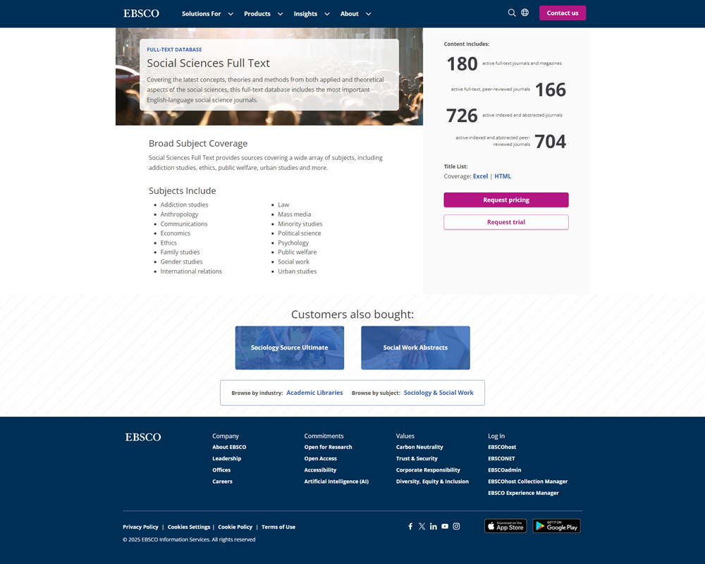
Social Sciences Full Text provides access to a wide range of scholarly literature in the social sciences. It covers many disciplines, including sociology, psychology, international relations, political science, anthropology, economics, and education.
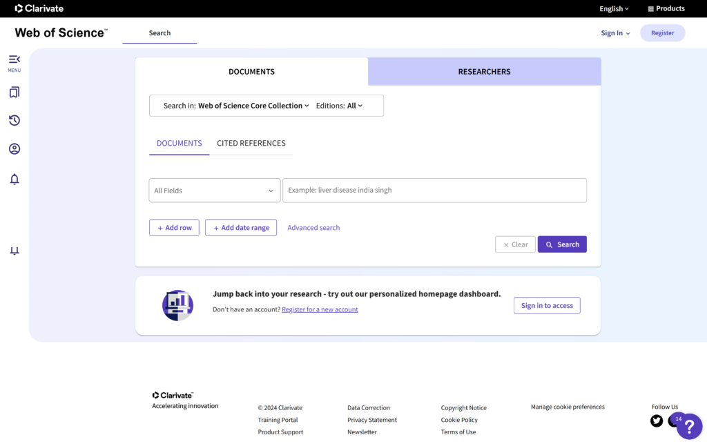
Web of Science is a comprehensive, multidisciplinary research and citation index that provides access to a wide range of scientific, technical, social science, and humanities research. It maintains rigorous criteria for the journals and publications it indexes, ensuring that only high-quality, peer-reviewed content is included. Web of Science includes 98 million papers dating back to 1900.
Geography Subject Databases
Searching general or multi-disciplinary article databases can sometimes give you too many results. To narrow your focus, try using a database dedicated to geography and geoscience research. The list below highlights the top databases for finding journals and articles.
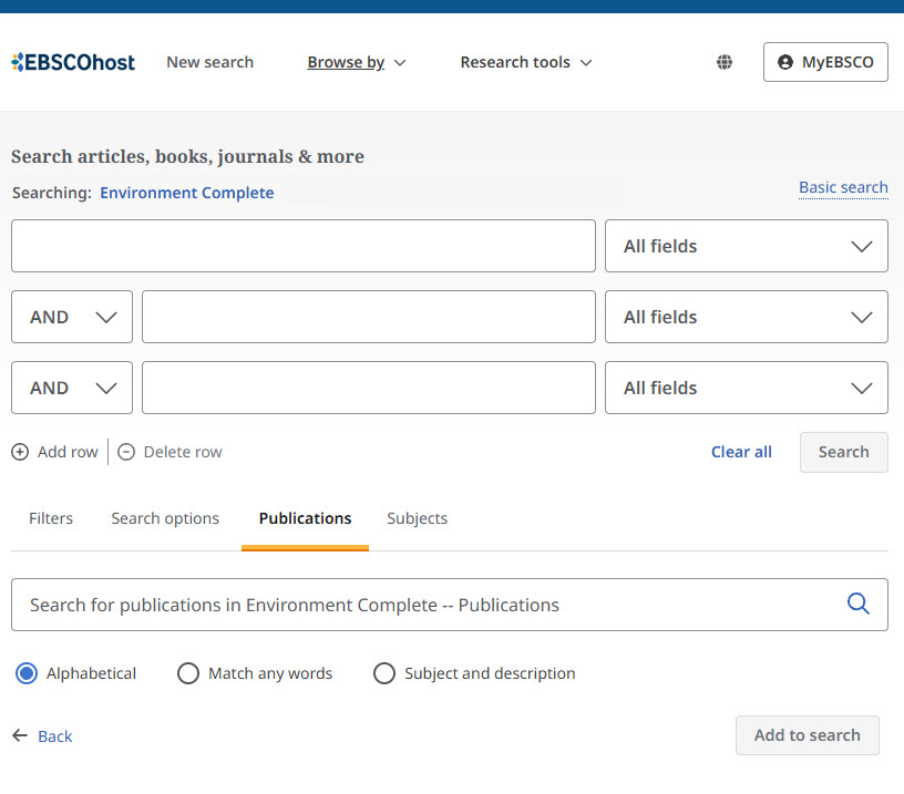
Environment Complete is a research database that brings together scholarly articles, reports, and other reliable sources on environmental issues and the relationship between people and the natural world. It covers topics such as climate change, conservation, pollution, sustainability, ecology, environmental policy, and human geography.
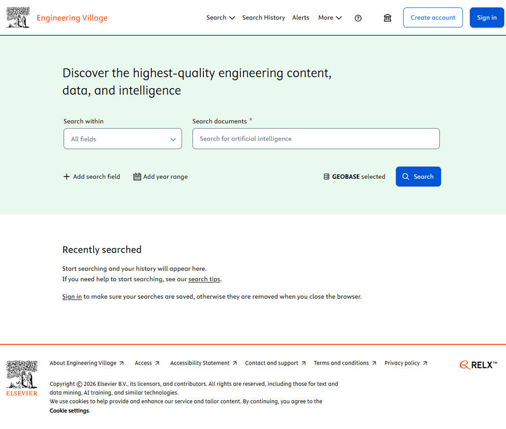
GEOBASE is an index research database for geography and environmental studies. Areas covered include ecology, geomechanics, human and physical geography, geology, international development studies/impacts, and oceanography. Access to GEOBASE in most academic libraries is provided through the Engineering Village platform.
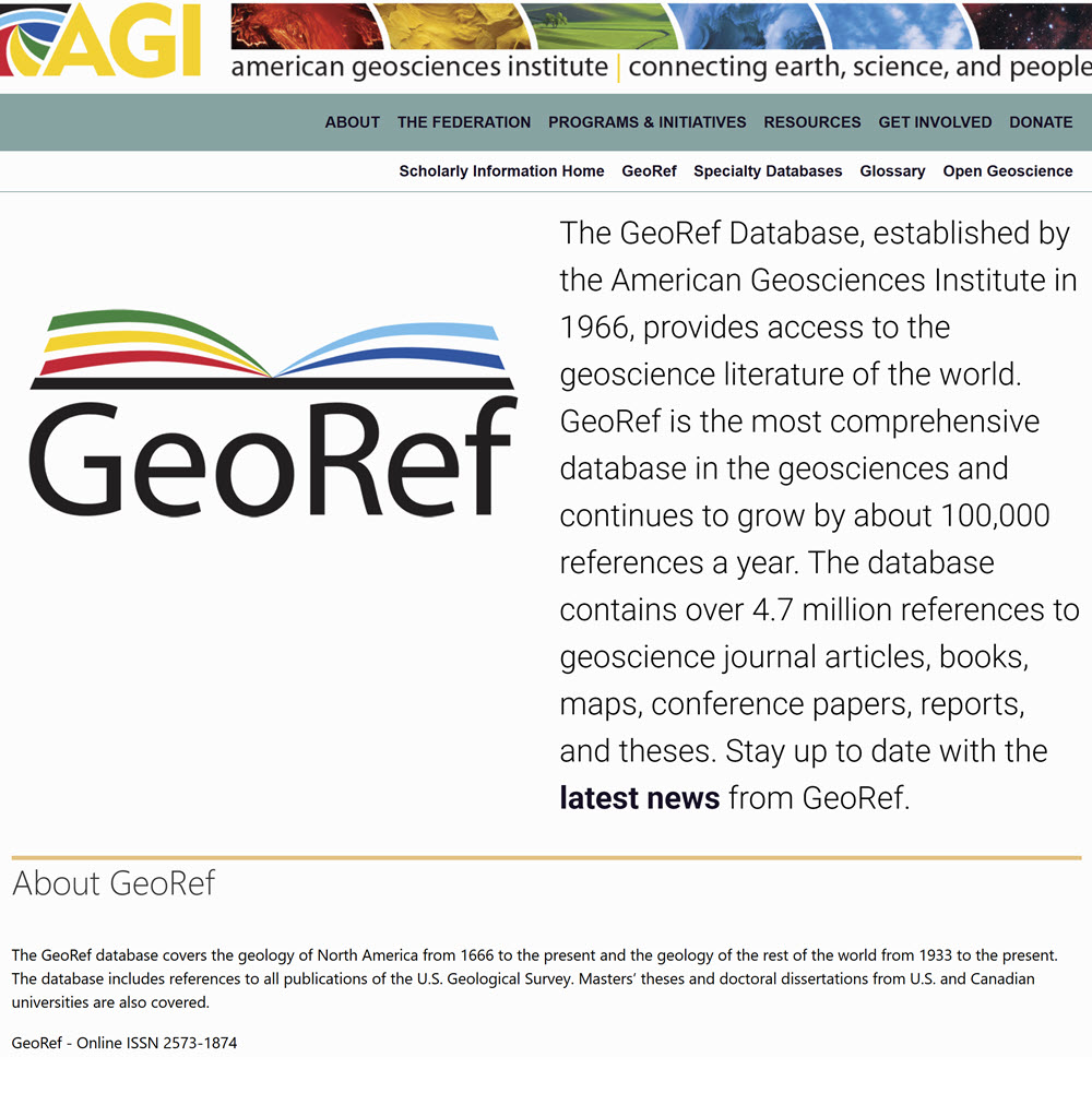
GeoRef is a database for geoscience research, produced by the American Geosciences Institute. It indexes millions of references to journal articles, books, maps, conference papers, and reports covering geology and related fields from the 17th century to today. Topics span everything from earthquakes, volcanoes, and fossils to environmental geology, hydrogeology, and planetary science. GeoRef is available through several different vendors and platforms, including: EBSCO, Engineering Village, GeoScienceWorld, ProQuest, and Ovid.
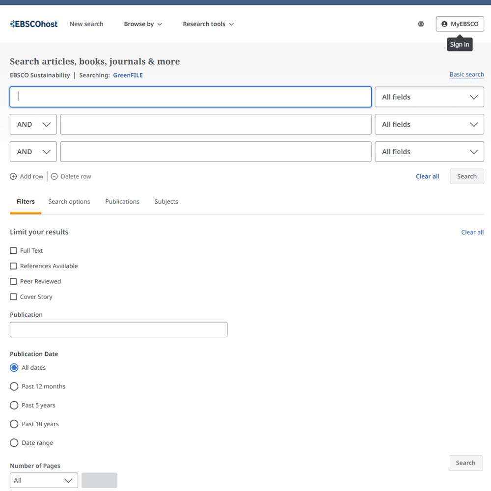
GreenFILE is a free EBSCO research database focused on environmental topics and sustainable living. It provides access to articles, reports, and publications that explore issues such as climate change, renewable energy, conservation, pollution, green technology, and environmental policy.
Web of Science is a comprehensive, multidisciplinary research and citation index that provides access to a wide range of scientific, technical, social science, and humanities research. It maintains rigorous criteria for the journals and publications it indexes, ensuring that only high-quality, peer-reviewed content is included. Web of Science includes 98 million papers dating back to 1900.
Geography Journals
Scholarly journals are essential for academic research. However, not all scholarly journals are of the same quality. While peer review is a good starting point, researchers should also consider a journal's reputation and impact within its discipline. Journal Citation Reports (JCR) is considered one of the best tools to help researchers identify leading journals within a discipline.
Journal Citation Reports (JCR) is widely regarded as the leading subscription-based resource for identifying high-quality, peer-reviewed journals and assessing the impact, influence, and quality of scholarly journals across all academic disciplines. To learn more about JCR and journal impact, go to Journal Databases.
To review the entire JCR list of highly cited geography journals, go to Journal Citation Reports (JCR) and choose Categories > Social Sciences, General > Geography. Below are the ten most-cited geography journals in their latest rankings.

Landscape and Urban Planning is a monthly peer-reviewed journal that publishes research about how landscapes and cities work and change. Authors write on subjects such as ecology, urban and regional planning, landscape architecture, and environmental engineering.
Journal of Transport Geography is a peer-reviewed academic journal that explores how transportation and movement shape places and people’s daily lives. It publishes research on topics like travel behavior, public transit, road networks, mobility access, and how transport systems affect cities, regions, and the environment.

Geoforum is a peer-reviewed academic journal that looks at how power, politics, and society shape places around the world. It publishes research on issues like inequality, development, environment, migration, and social change.
Applied Geography is a peer-reviewed research journal that publishes studies using geographic methods, like mapping, spatial analysis, and place-based thinking, to tackle real-world problems involving space and place. It provides articles about human and physical geography, environmental science, and GIScience.
Environment and Planning A: Economy and Space is a peer-reviewed economic journal that studies how economic activity and social life are shaped by place. It publishes research on topics such as work, cities, housing, inequality, markets, and development, looking at how economic systems operate in real spaces and communities.
Regional Studies is an international, peer-reviewed academic journal that publishes research about how and why regions and cities change over time. Articles come from economics, geography, planning, political science, environmental studies, and related fields to explain patterns of growth, decline, inequality, and policy within urban and subnational areas.
Progress in Human Geography is a peer-reviewed academic journal that publishes critical review articles and thought pieces summarizing the current state of research in human geography and related social sciences. The journal encourages debate about key theories and concepts that influence how researchers think about people, space, culture, economy, and society within geographic contexts.
International Journal of Geographical Information Science publishes research about how we collect, manage, analyze, and visualize geographic data using technology. Articles focus on subjects related to digital mapping tools like GIS, spatial modeling, remote sensing, and location-based data systems. Topics include urban planning, computer science, cartography, surveying, geography, engineering environmental monitoring, transportation systems, and disaster response.
U.S. Geographic Data
The U.S. government is one of the largest producers of geographic data in the world. Most of this data is freely available to the public. This section lists the most widely used general portals of U.S. government geographic data.
- U.S. Geographic Data Portals
- GIS Boundary Datasets
- Environmental Data
- Remote, Elevation & Imagery
- Census, Population, and Demographics Data
Geographic Data Portals
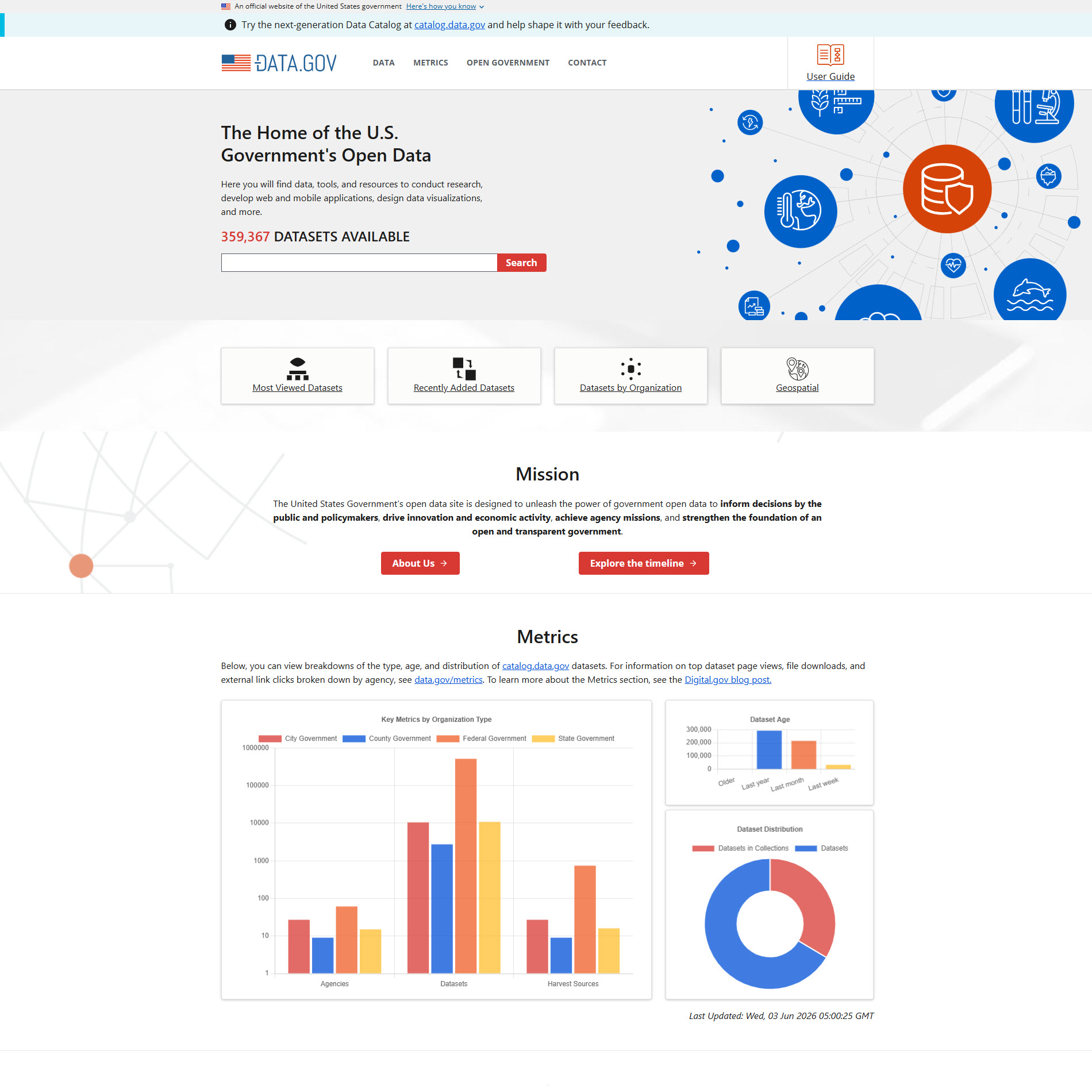
Data.gov is the U.S. government’s central website portal for discovering and accessing publicly available datasets from federal, state, and local agencies. Many datasets on Data.gov are geospatial datasets, with a tie to a specific geographic location. Data.gov also provides access to thousands of maps, and web services produced by federal agencies. It serves as a gateway to geographic information that can be used for mapping, GIS analysis, and research.
Note that Data. gov doesn’t maintain datasets itself. It’s a catalog that describes what datasets exist and points you to where you can download them from the agency that produced them. For geography and geospatial research, Data.gov offers access to the following:
- GIS datasets and shapefiles for boundaries, transportation, hydrography, land cover, and elevation.
- Satellite and remote sensing data from agencies such as NASA and NOAA.
- Topographic and elevation data
- Census and demographic geography data
- Environmental and climate datasets.
- Transportation and infrastructure data.
- Interactive maps that can be used with ArcGIS and QGIS.
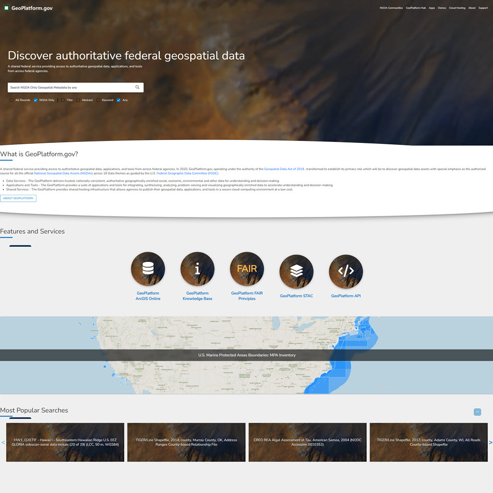
GeoPlatform.gov is the U.S. federal government’s collaborative platform for geographic and mapping data. It provides geospatial data and other resources provided by various federal agencies. GeoPlatform focuses exclusively on spatial data used in maps and GIS software. It provides data from agencies such as USGS, EPA, FEMA, the Census Bureau, NOAA, and more.
The National Geodetic Survey is an office within NOAA that defines and manages the National Spatial Reference System (NSRS), the official coordinate system framework that defines latitude, longitude, height, scale, gravity, and orientation throughout the United States. This coordinate framework underpins GPS, mapping, surveying, engineering, and GIS throughout the United States. The kinds of data it publishes are different from the thematic GIS layers you might get from USGS, EPA, or the Census Bureau.
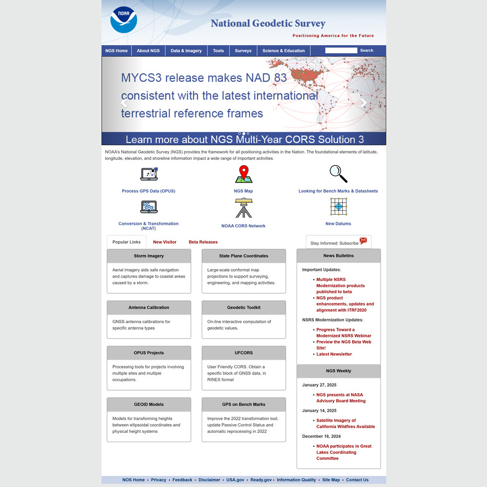
- Geodetic control monuments – A network of precisely surveyed benchmarks (horizontal and vertical) across the country, searchable via their NGS Datasheets portal.
- VERTCON / NADCON – Tools for converting between vertical and horizontal datums.
- Geoid models (GEOID) – Converts GPS ellipsoidal heights to real-world elevations.
- Shoreline data – Coastal boundary data.
- Aerial imagery (historical) – Decades of historical aerial photography through the NGS Photo Library.
- Online Positioning User Service (OPUS ) – Allows users to submit GPS data and get precise coordinates tied to the NSRS.
U.S. Geological Survey (USGS) is a scientific agency within the U.S. Department of the Interior that conducts research and collects data on the nation’s natural resources, landscapes, water, ecosystems, geology, and natural hazards. The USGS provides publicly accessible maps, imagery, and geospatial datasets that support scientific research, resource management, environmental stewardship, and hazard preparedness.
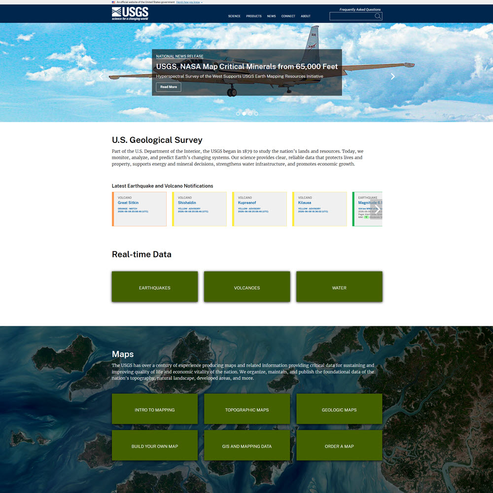
Important geospatial data resources provided include the following:
- GIS Data — USGS is a primary source of GIS data, presented in spatial and geographic formats, including The National Map, Earth Explorer, GloVIS, and more.
- The National Map / TNM Download —Allows downloading of US and historical topographic maps, and geospatial data covering themes including boundaries, elevation (3DEP), hydrography, imagery, geographic names, structures, and transportation.
- EarthExplorer — Allows searching and downloading of satellite imagery, aerial photography, and cartographic products.
- National Geospatial Program (NGP) — The NGP provides topographic mapping information for the United States through The National Map, with a portfolio spanning emergency response support to cutting-edge geospatial applications.
- Geospatial Data Sources (Overview) — A list of links covering USGS and partner agency geospatial data resources.
- Hazards Data Distribution System (HDDS) — A dynamic online map interface accessed through HDDSExplorer that can be used to view and download USGS datasets for national or international disasters, including floods, hurricanes, tsunamis, and earthquakes.
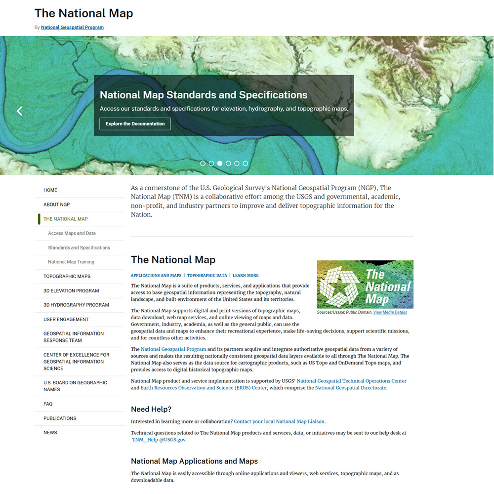
The National Map is USGS’s main portal for topographic, elevation, hydrography, and land cover data. It provides access to base geospatial information representing the topography, natural landscape, and built environment of the United States and its territories. The National Map supports digital and print versions of topographic maps, data downloads, web map services, and online viewing of maps and data.
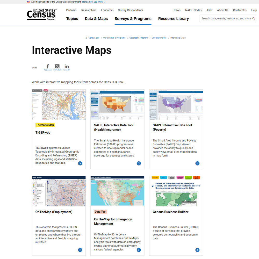
Census Bureau Interactive Maps is a collection of browser-based interactive mapping tools from across the Census Bureau that let you explore Census demographic data visually without the need for GIS software or downloads. Population, income, poverty, housing, employment, and other statistics are displayed directly on a map of the United States, down to the county, city, or neighborhood level.
GIS Boundary Data
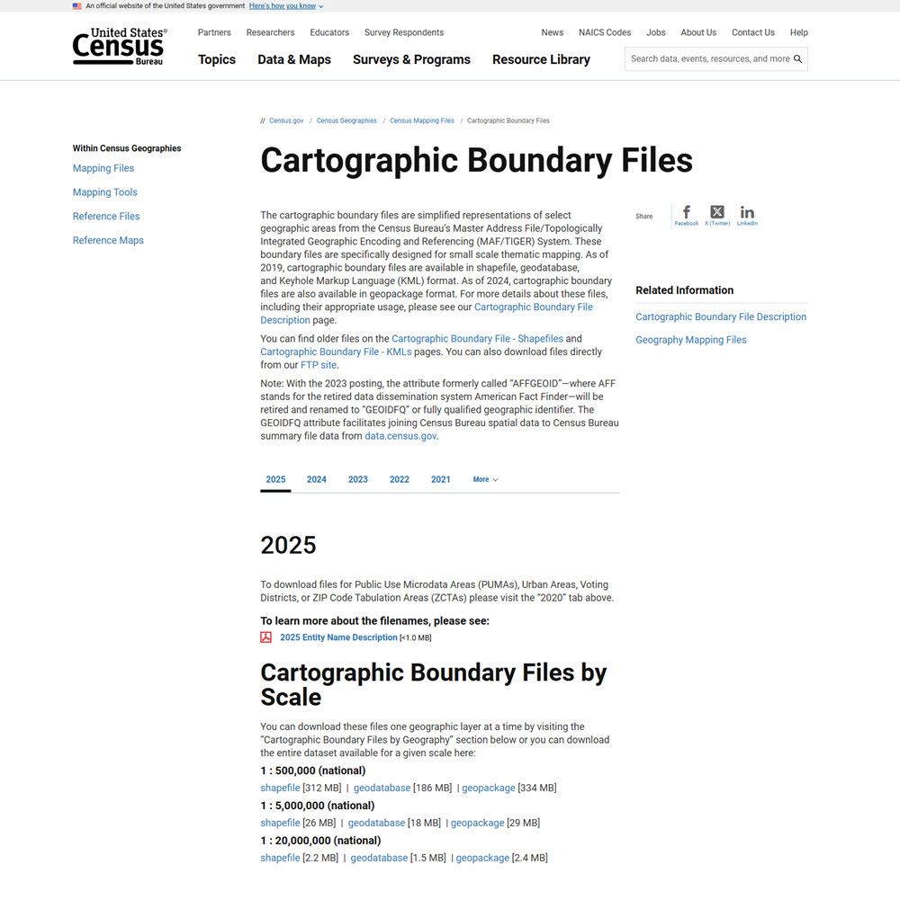
U.S. Census Cartographic Boundary Files are simplified versions of the Census TIGER/Line boundary files, designed specifically for making maps. Whereas TIGER/Line files are highly detailed and precise for very complex, large files that can be slow to render and visually “busy” on a map, Cartographic Boundary Files are smoothed and generalized with small details removed, jagged edges smoothed out, and coastal boundaries clipped to the shoreline. This makes them smaller in file size, faster to render, cleaner, and more visually appealing on a map.
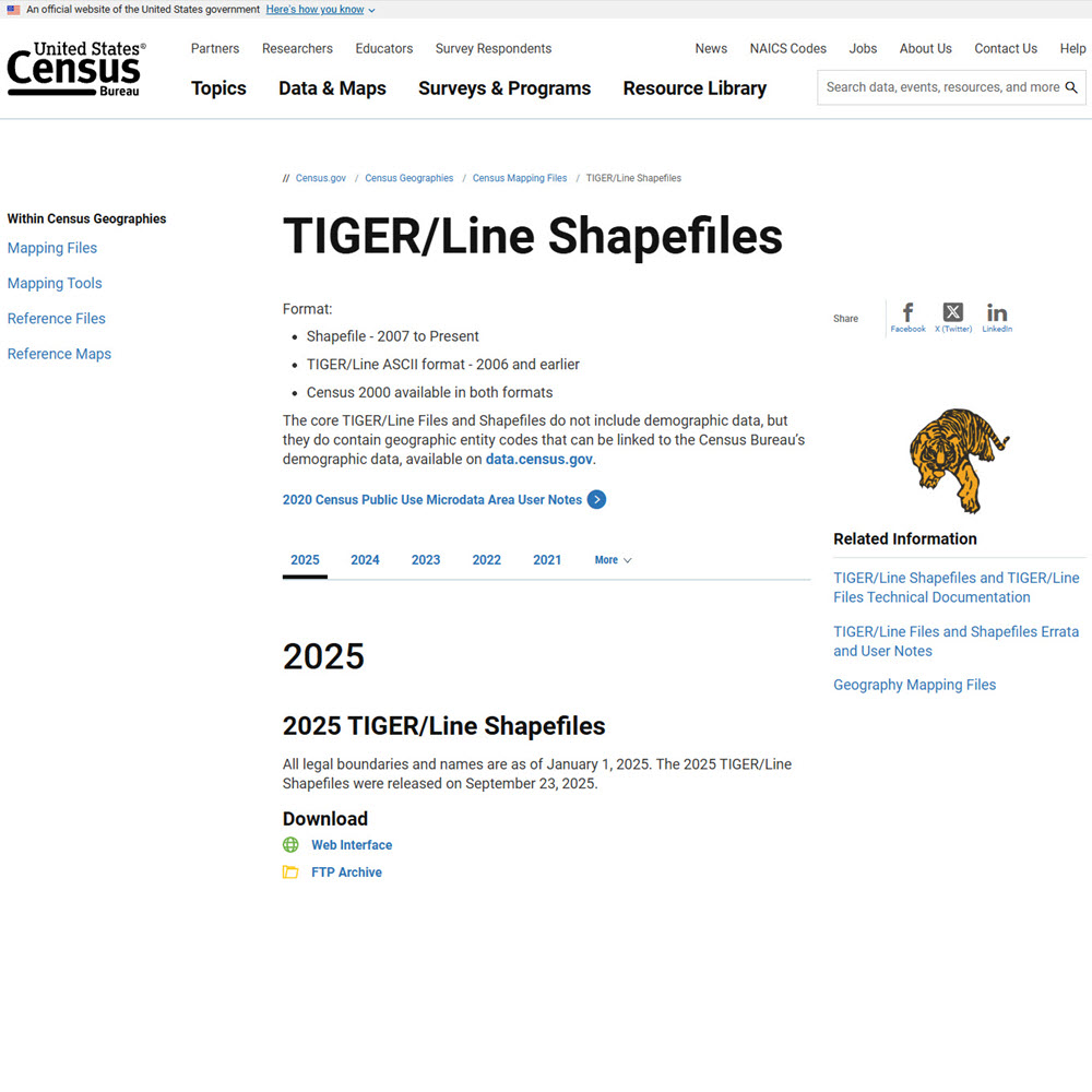
TIGER (Topologically Integrated Geographic Encoding and Referencing )/Line files are the Census Bureau’s comprehensive database of geographic features across the entire United States, stored as vector GIS files. They contain two broad categories of features:
- Administrative and statistical boundaries — states, counties, census tracts, voting districts, school districts, ZIP codes, and dozens of other boundary types.
- Physical and cultural features — roads, highways, railroads, rivers, streams, lakes, coastlines, and landmarks.
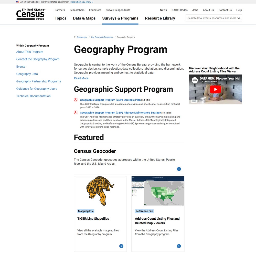
The U.S. Census Geography Program is the geographic framework and production program behind geographic datasets published by the U.S. Census Bureau. Its primary data source is the TIGER (Topologically Integrated Geographic Encoding and Referencing) database, from which numerous products are derived. It provides access to boundaries, linear features, points, geographic codes, and crosswalk files.
- TIGER/Line Shapefiles – Detailed GIS boundaries and features
- Cartographic Boundary Files – Generalized boundaries
- Gazetteer Files – Names and coordinates
- Relationship Files – Geographic crosswalks
- GEOIDs/FIPS Codes – Unique identifiers
- Urban Area Files – Urban boundaries
- PUMA Files – Public Use Microdata Areas
- ZCTA Files – ZIP Code approximations
- Congressional District Files – Political districts
- School District Files – Educational jurisdictions
The National Map is USGS’s main portal for topographic, elevation, hydrography, and land cover data. It provides access to base geospatial information representing the topography, natural landscape, and built environment of the United States and its territories. The National Map supports digital and print versions of topographic maps, data downloads, web map services, and online viewing of maps and data.
Environmental Data
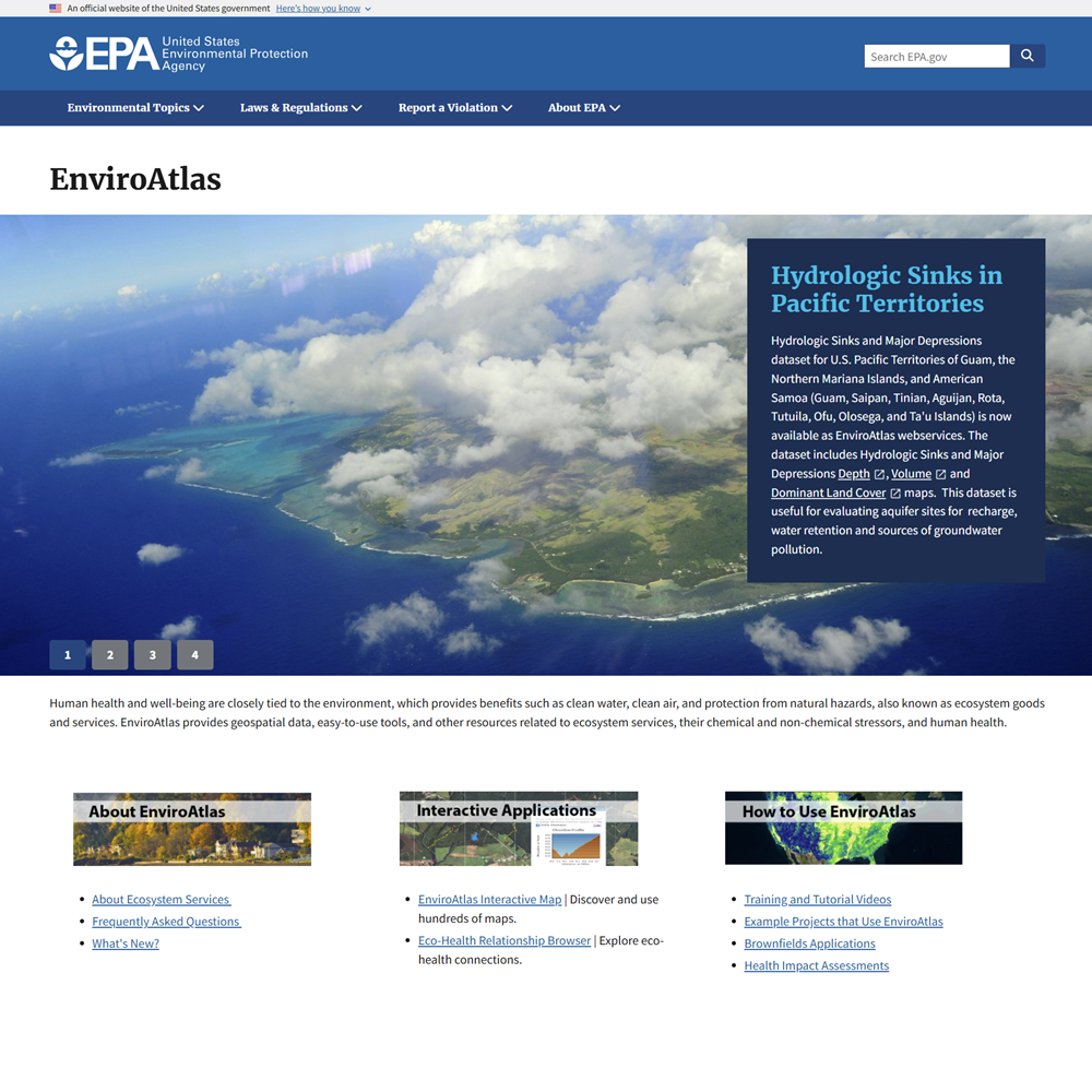
EnviroAtlas is a web-based environmental mapping and data platform developed by the United States Environmental Protection Agency that provides geospatial data, interactive tools, and resources that allow users to explore how ecosystems support human health and well-being. It provides access to more than 500 maps and analytical tools centered on ecosystem services, biodiversity, and human health.
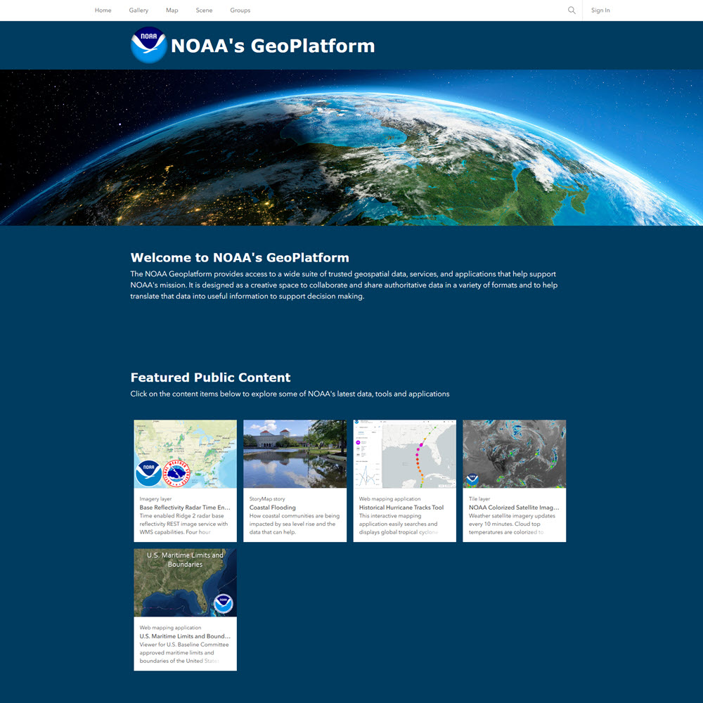
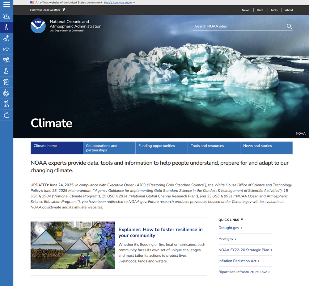
NOAA GeoPlatform is a cloud-based GIS portal that provides geospatial data, maps, and analytics in support of the National Oceanic and Atmospheric Administration’s mission. It brings together information from across NOAA and makes it available through interactive maps, downloadable layers, and analytical tools to support research, resource management, and decision-making.
-
- Nautical Charts
- Marine Protected Areas
- Weather & Climate
- Imagery & Satellites
- Fisheries & Ecosystems
- Coastal Resilience
- Environmental Sensitivity Index (ESI) Maps
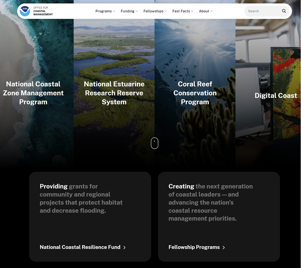
The NOAA Office for Coastal Management (OCM) helps communities protect and manage the United States coastal and Great Lakes regions. It provides a wide range of geographic and geospatial data focused on the coastal United States and Great Lakes regions. Most of these datasets are available through Digital Coast and the Data Access Viewer.
NOAA Data includes environmental observations of the Earth’s oceans, atmosphere, space weather, and ecosystems. The page serves as the central gateway to all of NOAA’s data holdings, organized into the following major data categories:
- Weather
- Climate
- Ocean
- Satellite
- Fisheries
- Coastal
- Great Lakes
- Geospatial
- NOAA Publications
Elevation and Satellite Imagery
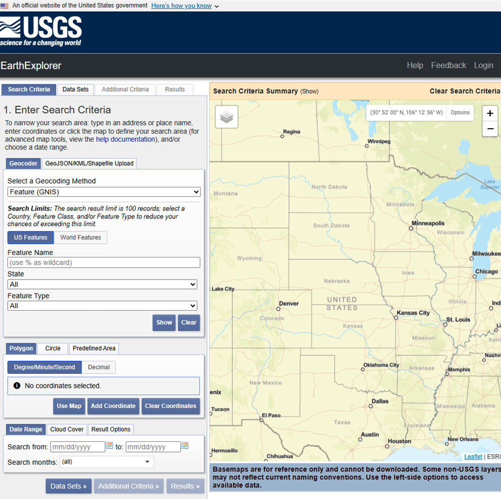
EarthExplorer (EE) is an online search, discovery, and ordering tool developed by the USGS. It supports the searching of satellite, aircraft, and other remote sensing inventories. It is operated by the USGS Earth Resources Observation and Science (EROS) Center, which maintains one of the largest civilian collections of images of the Earth’s land surface.
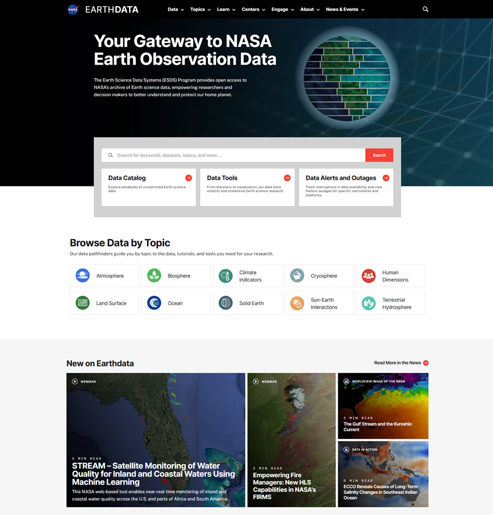
Earthdata is a data system managed by the National Aeronautics and Space Administration (NASA) that provides access to a massive collection of Earth science data collected by NASA satellites, aircraft, and field missions. Provide a concise, but easy-to-understand description of Earthdata.It provides the largest collection of freely available Earth science data in the world, with over 12,400 datasets spanning land, ocean, atmosphere, and cryosphere, collected by dozens of satellite missions, airborne campaigns, and ground stations.
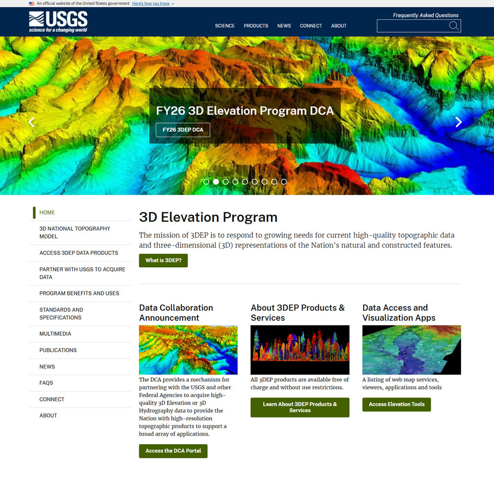
The U.S. Geological Survey’s 3D Elevation Program (3DEP) is a national initiative to provide high-quality, three-dimensional elevation data for the United States, including Hawaii, and U.S. territories, and interferometric synthetic aperture radar (IfSAR) elevation data for Alaska. Using technologies such as lidar and ifsar, 3DEP produces detailed information about the shape and height of the land surface.
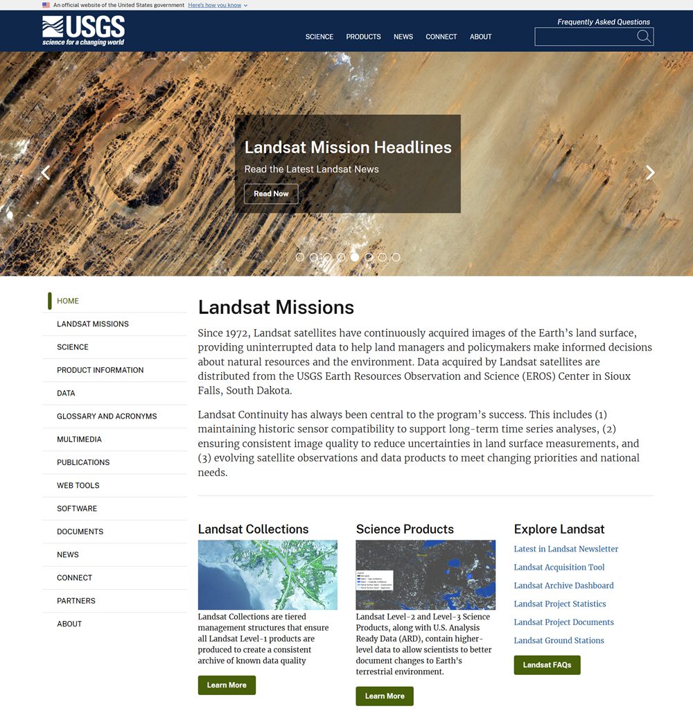
The Landsat Collection Archive is the long-term archive of Earth observation satellite imagery maintained by the U.S. Geological Survey (USGS) in partnership with NASA. It contains decades of multispectral imagery captured by the Landsat satellite series (Landsat 1 through 9), dating back to 1972. This makes it the longest continuous record of Earth’s land surface from space.
Population and Demographic Data
[Place Bricks template Here]
[Place Bricks template Here]
[Place Bricks template Here]
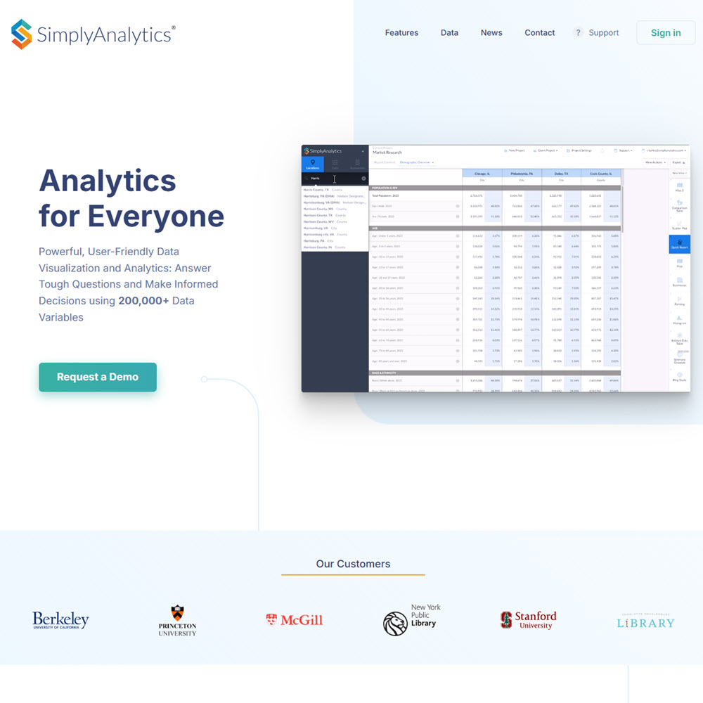
SimplyAnalytics is an online mapping and data analysis platform that provides access to demographic, socioeconomic, consumer, business, and market data for the United States. Users can create maps, tables, charts, and reports to analyze geographic patterns, compare communities, study consumer behavior, and identify social and economic trends.
SimplyAnalytics is primarily focused on U.S. and Canadian data, rather than broad international coverage. It provides extensive demographic, socioeconomic, consumer, business, and market data for geographic areas within the United States and Canada.
[Place Bricks template Here]
International Geographic Data
A wide range of international organizations, foreign government agencies, and multinational bodies publish geographic and spatial data that is freely available to the public. These resources are grouped by the types of resources they provide. Many span multiple` categories, but the following organization highlights their main strengths.
- General Purpose Data
- Agriculture & Food
- Census & Demographics
- Earth Observation, Remote Sensing & Terrain Data
- Environmental, Climate & Land-Use Data
- European Geospatial Data
- GIS Data & Geoportals
- Humanitarian & Development Data
- Mapping Data & Historical Maps
- Socioeconomic Data
General-Purpose Data
ArcGIS Living Atlas of the World is a large, curated collection of authoritative geographic datasets, interactive maps, and analytical layers designed for use within the ArcGIS platform. Maintained by Esri, it provides global information on topics such as demographics, climate, infrastructure, land use, and environmental change, allowing users to incorporate reliable spatial data directly into maps, dashboards, and GIS analyses.
The ArcGIS Living Atlas of the World is mostly free to browse, view, and use in public maps. However, accessing certain advanced layers requires a paid ArcGIS subscription.
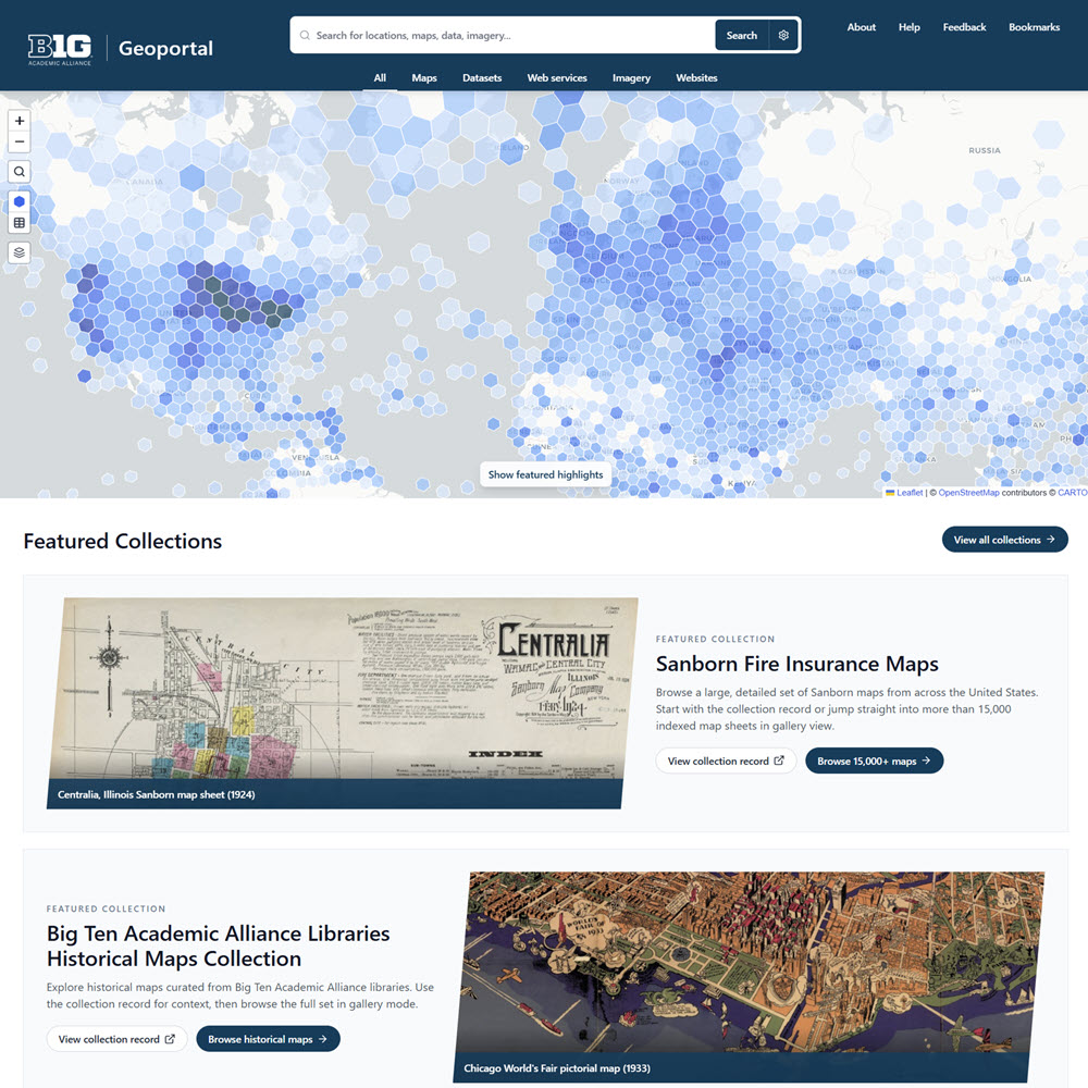
The Big Ten Academic Alliance Geoportal is an online aggregator of geospatial data, maps, and related geographic resources supported by 18 research universities and other geographic data providers. It provides users with datasets, geospatial web services, and digitized historical maps from research libraries and data repositories. Users can search by keyword or location to find geographic resources for mapping, spatial analysis, and research.
Data.gov is the U.S. government’s central website portal for discovering and accessing publicly available datasets from federal, state, and local agencies. Many datasets on Data.gov are geospatial datasets, with a tie to a specific geographic location. Data.gov also provides access to thousands of maps, and web services produced by federal agencies. It serves as a gateway to geographic information that can be used for mapping, GIS analysis, and research.
Note that Data. gov doesn’t maintain datasets itself. It’s a catalog that describes what datasets exist and points you to where you can download them from the agency that produced them. For geography and geospatial research, Data.gov offers access to the following:
- GIS datasets and shapefiles for boundaries, transportation, hydrography, land cover, and elevation.
- Satellite and remote sensing data from agencies such as NASA and NOAA.
- Topographic and elevation data
- Census and demographic geography data
- Environmental and climate datasets.
- Transportation and infrastructure data.
- Interactive maps that can be used with ArcGIS and QGIS.
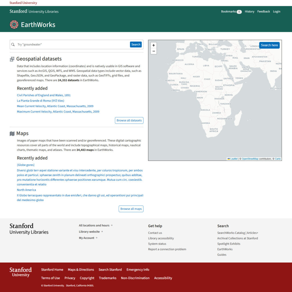
EarthWorks, developed by Stanford University Libraries’ Geospatial Center, is an online geospatial data discovery portal. Users can search, preview, and download thousands of GIS collections and other geographic datasets and maps from Stanford and partner institutions. Earthworks provides:
- Raster datasets
- Digital elevation models
- Historical and contemporary maps
- Satellite and aerial imagery
- Shapefiles and geodatabases
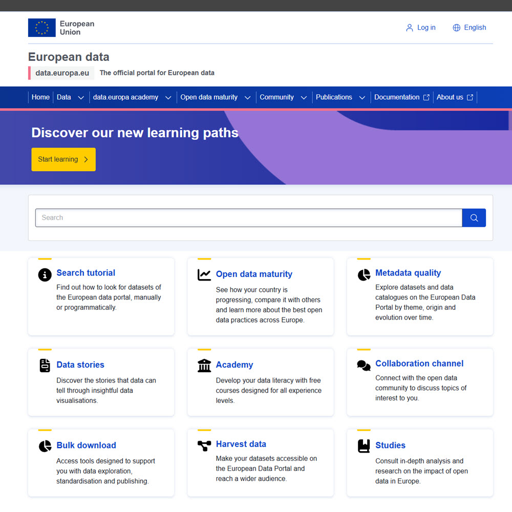
The European Data Portal is the EU’s central open data hub, providing open data published by EU institutions, national portals of EU member states and non-member states, as well as international organizations of predominantly European scope. Users can download statistical and socioeconomic data, find GIS and environmental datasets, find transportation and infrastructure information, and develop maps, applications, and data visualizations.
GeoPlatform.gov is the U.S. federal government’s collaborative platform for geographic and mapping data. It provides geospatial data and other resources provided by various federal agencies. GeoPlatform focuses exclusively on spatial data used in maps and GIS software. It provides data from agencies such as USGS, EPA, FEMA, the Census Bureau, NOAA, and more.
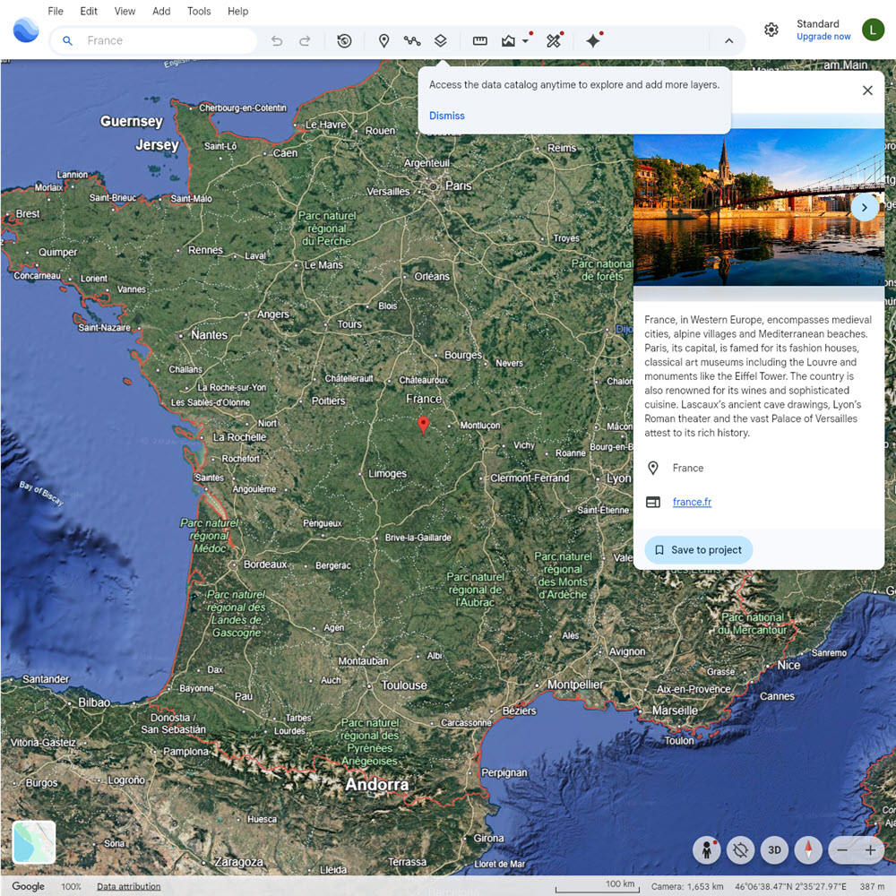
Google Earth is a virtual globe and geospatial visualization platform that allows users to explore the Earth using satellite imagery, aerial photography, 3D terrain, and geographic information. It allows users to view places around the world, create maps, and visualize geographic data through an interactive interface.
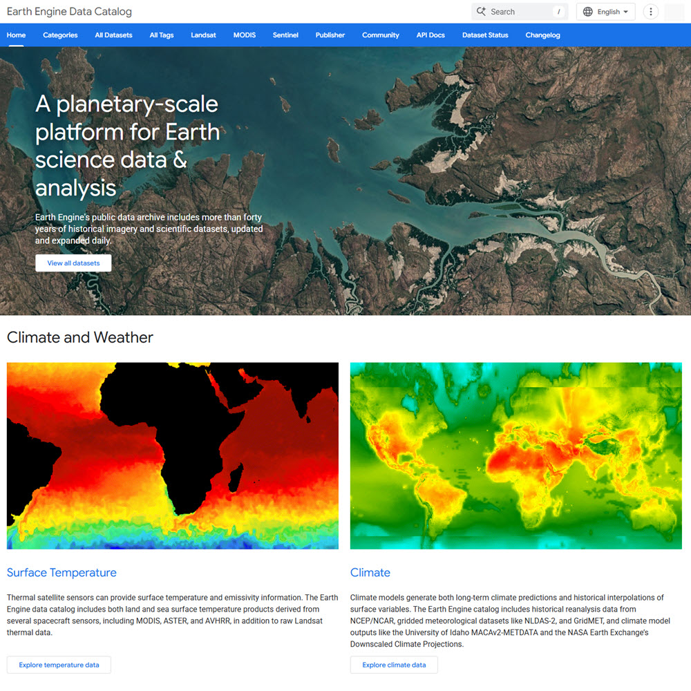
The Google Earth Engine (GEE) Data Catalog is one of the largest free online collections of satellite imagery, environmental data, and other geographic datasets covering the entire Earth. It currently includes more than 1,000 curated datasets, including near-real-time satellite imagery. Note that most analyses using the Google Earth Engine platform require basic programming skills in JavaScript or Python.
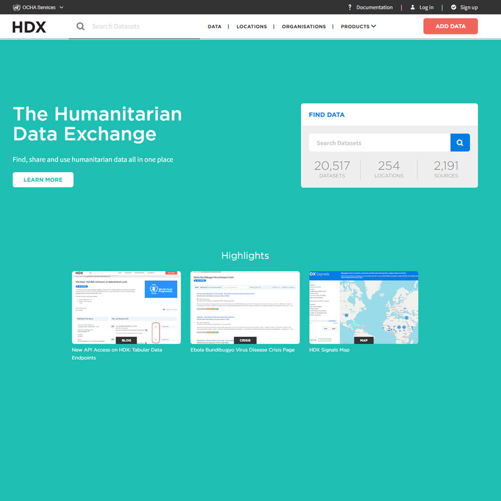
The Humanitarian Data Exchange (HDX) is the UN’s central open data platform for humanitarian crises. Managed by the United Nations Office for the Coordination of Humanitarian Affairs (OCHA), HDX provides access to datasets used in humanitarian response, disaster relief, and sustainable development. It serves as a central repository where governments, NGOs, international organizations, and researchers can share and discover data related to crises and vulnerable populations.
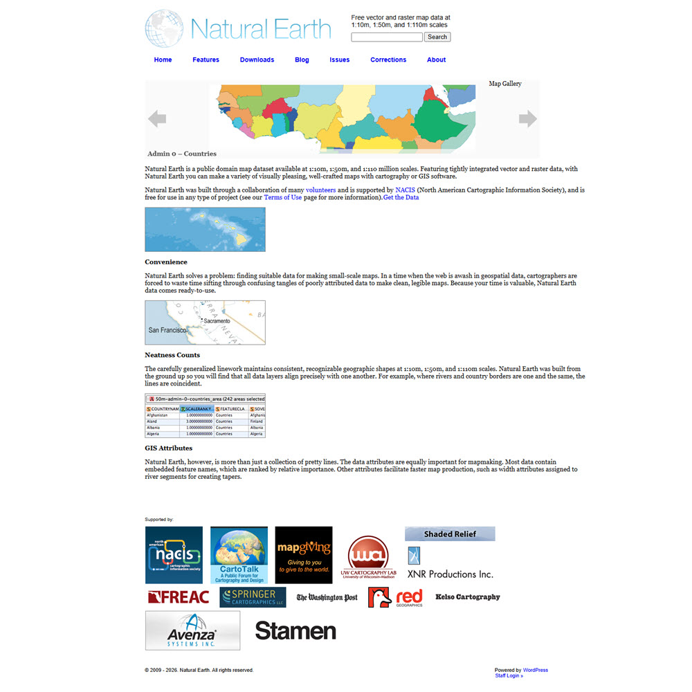
Natural Earth is a free, public domain map dataset available at three levels of detail, designed for making clean, visually appealing maps with standard mapping or GIS software. It includes country boundaries, states and provinces, cities, rivers, lakes, coastlines, and physical features of the Earth.
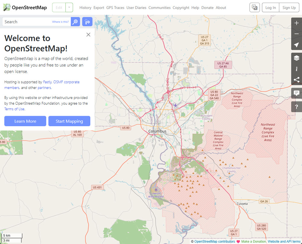
OpenStreetMap (OSM) is a digital map database of the world built through crowdsourced volunteered geographic information. It is supported by the nonprofit OpenStreetMap Foundation, and its data is freely available for visualization, query, download, and modification under open licenses. It provides detailed geographic information on roads, buildings, parks, waterways, public transportation, and millions of places such as schools, hospitals, restaurants, and landmarks.
Agriculture & Food
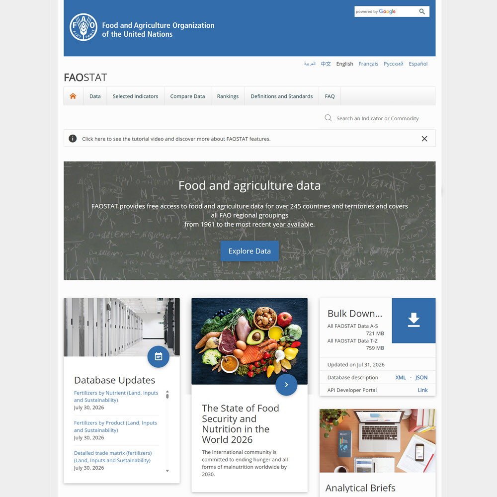
FAOSTAT is the primary statistical database of the Food and Agriculture Organization of the United Nations (FAO). FAOSTAT provides free access to global food, agriculture, and related environmental statistics for more than 245 countries and territories, with many series extending back to 1961. It includes data on crop and livestock production, agricultural trade, food supply and balances, food security and nutrition, prices, land use, forestry, fisheries, agricultural inputs, and greenhouse-gas emissions.
The Google Earth Engine (GEE) Data Catalog is one of the largest free online collections of satellite imagery, environmental data, and other geographic datasets covering the entire Earth. It currently includes more than 1,000 curated datasets, including near-real-time satellite imagery. Note that most analyses using the Google Earth Engine platform require basic programming skills in JavaScript or Python.
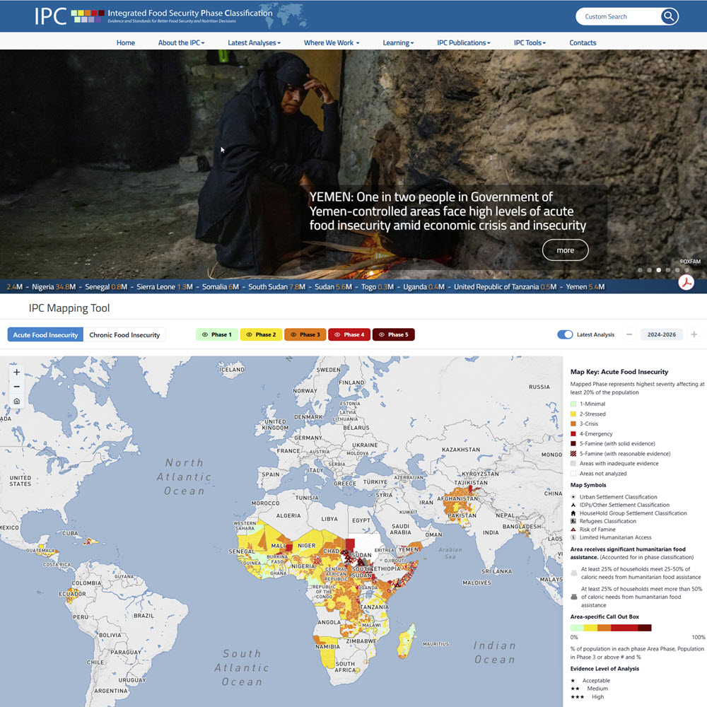
The Integrated Food Security Phase Classification (IPC) is a global initiative that provides standardized data and analysis for assessing the severity and extent of food insecurity and acute malnutrition. It combines data from governments, United Nations agencies, NGOs, and other organizations to classify conditions using internationally recognized scales.
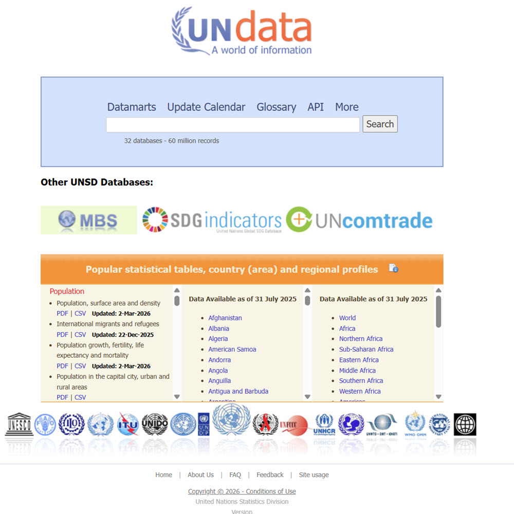
UNdata is an online statistical portal from the United Nations Statistics Division that provides access to data compiled by the United Nations system. It brings together international statistics on countries and regions from multiple UN agencies covering topics such as population, education, health, employment, national accounts, trade, energy, environment, agriculture, gender, and development indicators.
World Bank Open Data is a publicly available series of global development datasets produced by the World Bank Group. Each dataset provides a wide range of global development data, including economic, social, and financial data from over 200 countries and territories. The data is collected from national statistical agencies, international organizations (IMF, UN), and World Bank research.
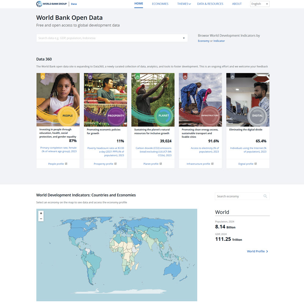
World Bank Open Data is a publicly available series of global development datasets produced by the World Bank Group. Each dataset provides a wide range of global development data, including economic, social, and financial data from over 200 countries and territories. The data is collected from national statistical agencies, international organizations (IMF, UN), and World Bank research.
Census & Demographics
Data.gov is the U.S. government’s central website portal for discovering and accessing publicly available datasets from federal, state, and local agencies. Many datasets on Data.gov are geospatial datasets, with a tie to a specific geographic location. Data.gov also provides access to thousands of maps, and web services produced by federal agencies. It serves as a gateway to geographic information that can be used for mapping, GIS analysis, and research.
Note that Data. gov doesn’t maintain datasets itself. It’s a catalog that describes what datasets exist and points you to where you can download them from the agency that produced them. For geography and geospatial research, Data.gov offers access to the following:
- GIS datasets and shapefiles for boundaries, transportation, hydrography, land cover, and elevation.
- Satellite and remote sensing data from agencies such as NASA and NOAA.
- Topographic and elevation data
- Census and demographic geography data
- Environmental and climate datasets.
- Transportation and infrastructure data.
- Interactive maps that can be used with ArcGIS and QGIS.
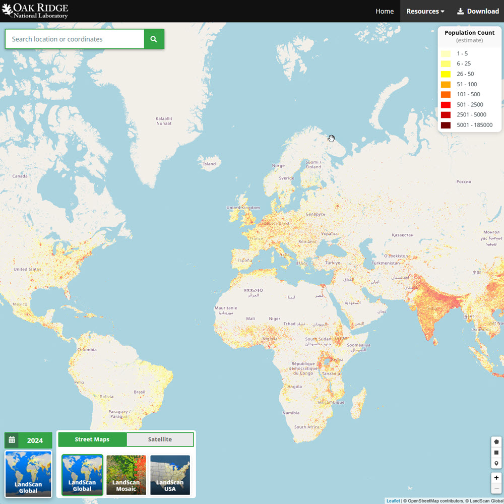
LandScan Global is a high-resolution population dataset that provides a global population distribution with about a 1-kilometer resolution. Developed by Oak Ridge National Laboratory, it provides detailed gridded population data that represent the average population distribution over a 24-hour period. It works with standard GIS software like QGIS, and is particularly valuable for any project involving population geography, urban growth, public health, or environmental hazards.
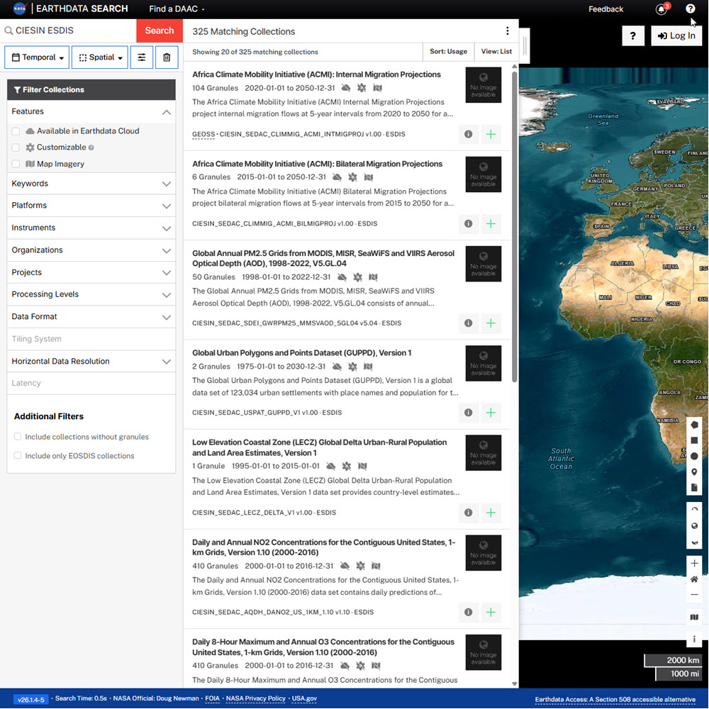
SEDAC (Socioeconomic Data and Applications Center) is one of NASA’s Distributed Active Archive Centers (DAACs) and serves as NASA’s archive for socioeconomic and environmental data. SEDAC integrates social, economic, and demographic information with Earth science data to support research on human-environment interactions.
On April 30, 2025, the contract for SEDAC, managed by Columbia University’s Center for Integrated Earth System Information (CIESIN), was terminated, and the datasets SEDAC curated were no longer available. Since then, the Earth Science Data and Information System (ESDIS) project worked to get the datasets rehoused. All SEDAC data are now accessible through Earthdata Search.
UNdata is an online statistical portal from the United Nations Statistics Division that provides access to data compiled by the United Nations system. It brings together international statistics on countries and regions from multiple UN agencies covering topics such as population, education, health, employment, national accounts, trade, energy, environment, agriculture, gender, and development indicators.
World Bank Open Data is a publicly available series of global development datasets produced by the World Bank Group. Each dataset provides a wide range of global development data, including economic, social, and financial data from over 200 countries and territories. The data is collected from national statistical agencies, international organizations (IMF, UN), and World Bank research.
Earth Observation, Remote Sensing & Terrain Data
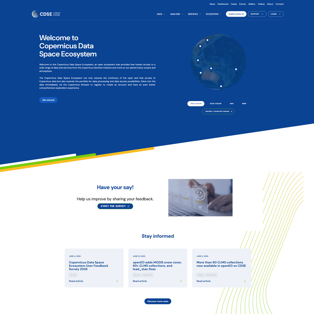
The Copernicus Data Space Ecosystem (CDSE) is the European Union’s official, centralized platform for accessing and processing Earth observation data from the Copernicus Program’s Sentinel satellites. It provides free access to imagery and derived products from the Sentinel satellite missions, as well as complementary environmental and geospatial datasets.
Earthdata is a data system managed by the National Aeronautics and Space Administration (NASA) that provides access to a massive collection of Earth science data collected by NASA satellites, aircraft, and field missions. Provide a concise, but easy-to-understand description of Earthdata.It provides the largest collection of freely available Earth science data in the world, with over 12,400 datasets spanning land, ocean, atmosphere, and cryosphere, collected by dozens of satellite missions, airborne campaigns, and ground stations.
Google Earth is a virtual globe and geospatial visualization platform that allows users to explore the Earth using satellite imagery, aerial photography, 3D terrain, and geographic information. It allows users to view places around the world, create maps, and visualize geographic data through an interactive interface.
The Google Earth Engine (GEE) Data Catalog is one of the largest free online collections of satellite imagery, environmental data, and other geographic datasets covering the entire Earth. It currently includes more than 1,000 curated datasets, including near-real-time satellite imagery. Note that most analyses using the Google Earth Engine platform require basic programming skills in JavaScript or Python.
Natural Earth is a free, public domain map dataset available at three levels of detail, designed for making clean, visually appealing maps with standard mapping or GIS software. It includes country boundaries, states and provinces, cities, rivers, lakes, coastlines, and physical features of the Earth.
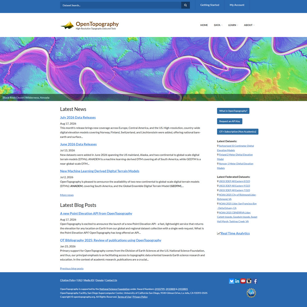
OpenTopography is an online high-resolution topographic and elevation data platform. It provides lidar, radar, photogrammetry, and regional-to-global elevation datasets, along with other web-based tools for discovering, processing, visualizing, and downloading geospatial data.
SEDAC (Socioeconomic Data and Applications Center) is one of NASA’s Distributed Active Archive Centers (DAACs) and serves as NASA’s archive for socioeconomic and environmental data. SEDAC integrates social, economic, and demographic information with Earth science data to support research on human-environment interactions.
On April 30, 2025, the contract for SEDAC, managed by Columbia University’s Center for Integrated Earth System Information (CIESIN), was terminated, and the datasets SEDAC curated were no longer available. Since then, the Earth Science Data and Information System (ESDIS) project worked to get the datasets rehoused. All SEDAC data are now accessible through Earthdata Search.
EarthExplorer (EE) is an online search, discovery, and ordering tool developed by the USGS. It supports the searching of satellite, aircraft, and other remote sensing inventories. It is operated by the USGS Earth Resources Observation and Science (EROS) Center, which maintains one of the largest civilian collections of images of the Earth’s land surface.
Environmental, Climate & Land-Use Data
[Place Bricks Template Here]
Earthdata is a data system managed by the National Aeronautics and Space Administration (NASA) that provides access to a massive collection of Earth science data collected by NASA satellites, aircraft, and field missions. Provide a concise, but easy-to-understand description of Earthdata.It provides the largest collection of freely available Earth science data in the world, with over 12,400 datasets spanning land, ocean, atmosphere, and cryosphere, collected by dozens of satellite missions, airborne campaigns, and ground stations.
FAOSTAT is the primary statistical database of the Food and Agriculture Organization of the United Nations (FAO). FAOSTAT provides free access to global food, agriculture, and related environmental statistics for more than 245 countries and territories, with many series extending back to 1961. It includes data on crop and livestock production, agricultural trade, food supply and balances, food security and nutrition, prices, land use, forestry, fisheries, agricultural inputs, and greenhouse-gas emissions.
The Google Earth Engine (GEE) Data Catalog is one of the largest free online collections of satellite imagery, environmental data, and other geographic datasets covering the entire Earth. It currently includes more than 1,000 curated datasets, including near-real-time satellite imagery. Note that most analyses using the Google Earth Engine platform require basic programming skills in JavaScript or Python.
SEDAC (Socioeconomic Data and Applications Center) is one of NASA’s Distributed Active Archive Centers (DAACs) and serves as NASA’s archive for socioeconomic and environmental data. SEDAC integrates social, economic, and demographic information with Earth science data to support research on human-environment interactions.
On April 30, 2025, the contract for SEDAC, managed by Columbia University’s Center for Integrated Earth System Information (CIESIN), was terminated, and the datasets SEDAC curated were no longer available. Since then, the Earth Science Data and Information System (ESDIS) project worked to get the datasets rehoused. All SEDAC data are now accessible through Earthdata Search.
The United Nations Environment Programme (UNEP) Data site provides international environmental data, statistics, maps, and geospatial information covering issues such as climate change, biodiversity, ecosystems, pollution, air and water quality, natural resources, and sustainable development.
EarthExplorer (EE) is an online search, discovery, and ordering tool developed by the USGS. It supports the searching of satellite, aircraft, and other remote sensing inventories. It is operated by the USGS Earth Resources Observation and Science (EROS) Center, which maintains one of the largest civilian collections of images of the Earth’s land surface.
World Bank Open Data is a publicly available series of global development datasets produced by the World Bank Group. Each dataset provides a wide range of global development data, including economic, social, and financial data from over 200 countries and territories. The data is collected from national statistical agencies, international organizations (IMF, UN), and World Bank research.
European Geospatial Data
The Copernicus Data Space Ecosystem (CDSE) is the European Union’s official, centralized platform for accessing and processing Earth observation data from the Copernicus Program’s Sentinel satellites. It provides free access to imagery and derived products from the Sentinel satellite missions, as well as complementary environmental and geospatial datasets.
The European Data Portal is the EU’s central open data hub, providing open data published by EU institutions, national portals of EU member states and non-member states, as well as international organizations of predominantly European scope. Users can download statistical and socioeconomic data, find GIS and environmental datasets, find transportation and infrastructure information, and develop maps, applications, and data visualizations.
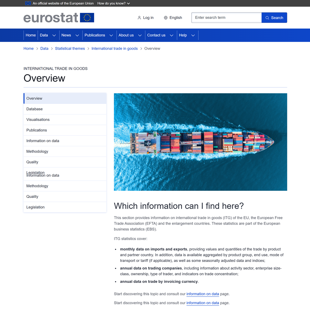
GISCO (Geographic Information System of the Commission) is Eurostat’s geospatial data service, providing geographic information and mapping resources for the European Union, its Member States, regions, and all of Europe. It offers downloadable data on administrative and statistical boundaries, population distribution, cities and urban areas, transportation networks, land cover, elevation, and other geographic features.
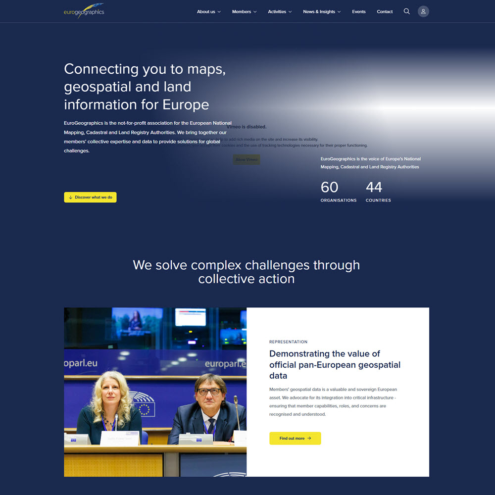
EuroGeographics is a nonprofit association representing Europe’s national mapping, cadastral, and land registry authorities. It provides access to authoritative, harmonized pan-European geospatial data from official national sources. It includes administrative and statistical boundaries, topographic mapping, elevation data, geographic names, transportation networks, hydrography, and other reference data.
GIS Data & Geoportals
The Big Ten Academic Alliance Geoportal is an online aggregator of geospatial data, maps, and related geographic resources supported by 18 research universities and other geographic data providers. It provides users with datasets, geospatial web services, and digitized historical maps from research libraries and data repositories. Users can search by keyword or location to find geographic resources for mapping, spatial analysis, and research.
Data.gov is the U.S. government’s central website portal for discovering and accessing publicly available datasets from federal, state, and local agencies. Many datasets on Data.gov are geospatial datasets, with a tie to a specific geographic location. Data.gov also provides access to thousands of maps, and web services produced by federal agencies. It serves as a gateway to geographic information that can be used for mapping, GIS analysis, and research.
Note that Data. gov doesn’t maintain datasets itself. It’s a catalog that describes what datasets exist and points you to where you can download them from the agency that produced them. For geography and geospatial research, Data.gov offers access to the following:
- GIS datasets and shapefiles for boundaries, transportation, hydrography, land cover, and elevation.
- Satellite and remote sensing data from agencies such as NASA and NOAA.
- Topographic and elevation data
- Census and demographic geography data
- Environmental and climate datasets.
- Transportation and infrastructure data.
- Interactive maps that can be used with ArcGIS and QGIS.
EarthWorks, developed by Stanford University Libraries’ Geospatial Center, is an online geospatial data discovery portal. Users can search, preview, and download thousands of GIS collections and other geographic datasets and maps from Stanford and partner institutions. Earthworks provides:
- Raster datasets
- Digital elevation models
- Historical and contemporary maps
- Satellite and aerial imagery
- Shapefiles and geodatabases
The European Data Portal is the EU’s central open data hub, providing open data published by EU institutions, national portals of EU member states and non-member states, as well as international organizations of predominantly European scope. Users can download statistical and socioeconomic data, find GIS and environmental datasets, find transportation and infrastructure information, and develop maps, applications, and data visualizations.
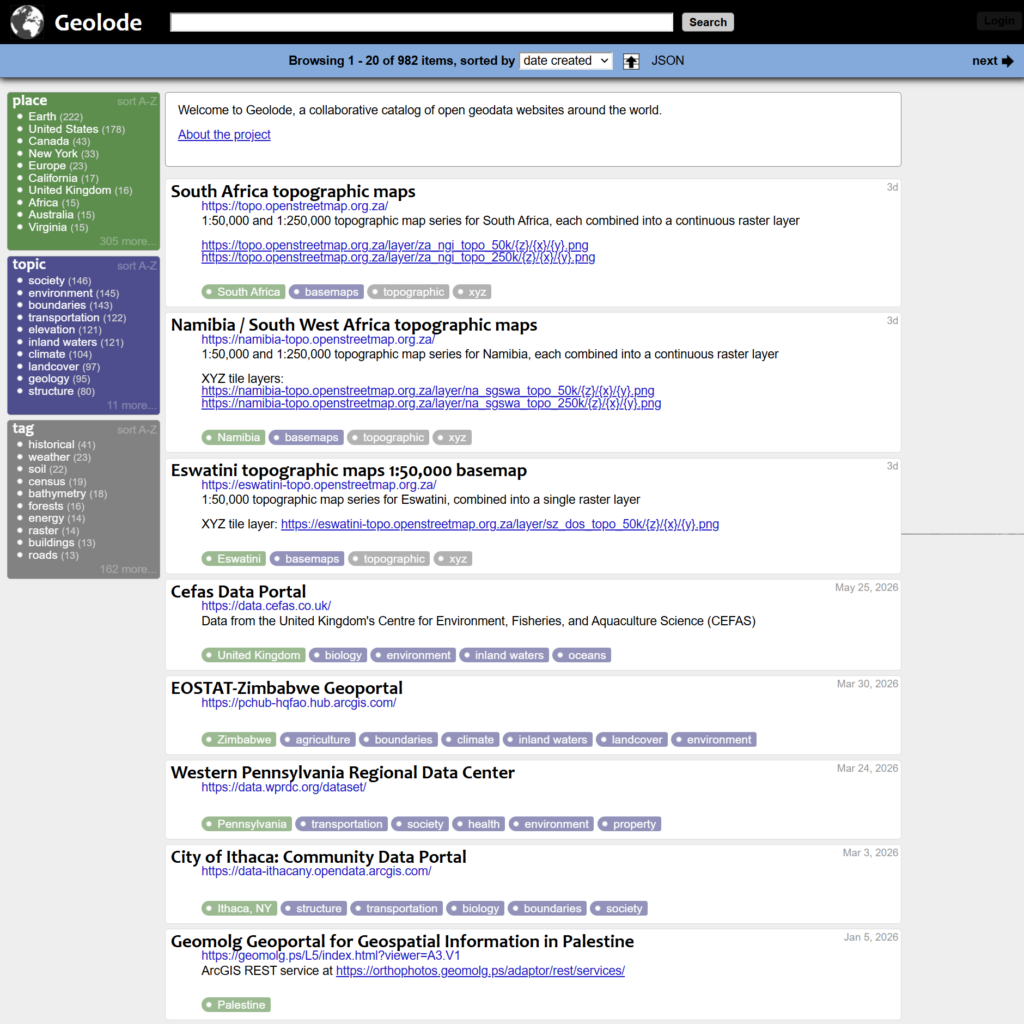
GeoLode is a directory for locating international geospatial data, maps, and GIS resources. It provides links to geographic information from government agencies, universities, research organizations, and other data providers.
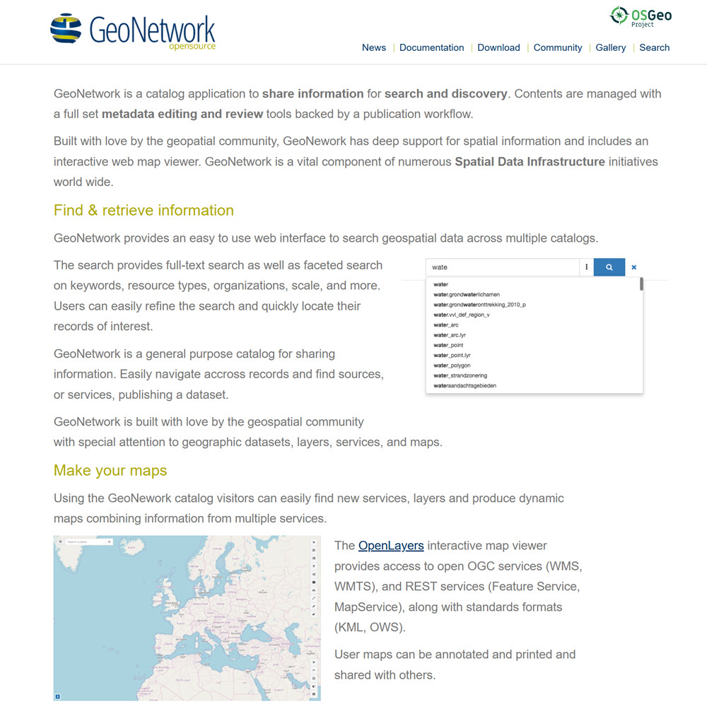
GeoNetwork is a free, open-source metadata catalog and geospatial data management system used to organize, describe, discover, and share geographic datasets, maps, imagery, and web services. It is widely used by governments, international organizations, and spatial data infrastructures (SDIs) around the world. Note that GeoNetwork does not perform spatial analysis. Instead, it acts as a catalog system that helps users find and manage geospatial resources and the metadata that describes them.
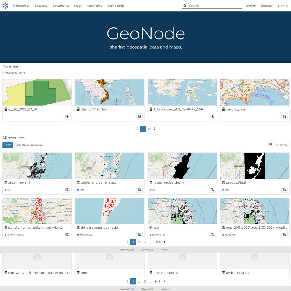
GeoNode is a free, open-source geospatial data management and web mapping platform that enables organizations to publish, share, visualize, and collaboratively manage geographic data such as vector and raster datasets, maps, and web services, through a web browser. It is widely used to build spatial data infrastructures (SDIs), open data portals, and collaborative mapping websites.
GeoPlatform.gov is the U.S. federal government’s collaborative platform for geographic and mapping data. It provides geospatial data and other resources provided by various federal agencies. GeoPlatform focuses exclusively on spatial data used in maps and GIS software. It provides data from agencies such as USGS, EPA, FEMA, the Census Bureau, NOAA, and more.
Humanitarian & Development Data
Humanitarian Geospatial Data
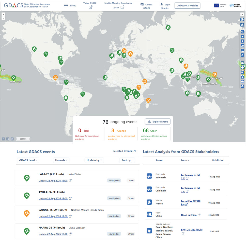
The Global Disaster Alert and Coordination System (GDACS) is an international disaster monitoring and information platform developed by the United Nations and the European Commission. It provides near-real-time alerts, maps, impact estimates, satellite imagery, and other information on major natural hazards, including earthquakes, tsunamis, floods, tropical cyclones, volcanoes, droughts, and forest fires.
[Place Bricks Template Here]
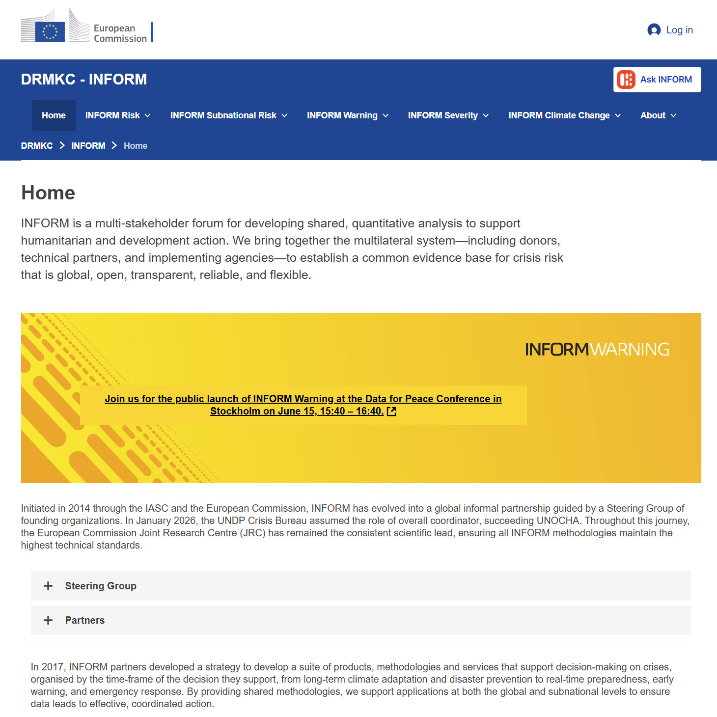
The INFORM Risk Index is a global, open-source platform for assessing the risk of humanitarian crises and disasters across countries. It combines data on natural and human hazards, population exposure, socioeconomic vulnerability, vulnerable populations, infrastructure, and institutional coping capacity. IMFORM is meant to support decisions about prevention, preparedness, and response to crises where national response capacity may be limited.
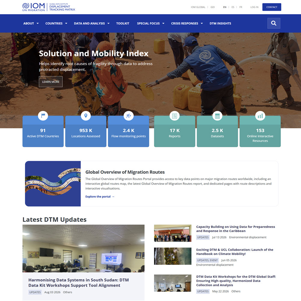
The International Organization for Migration (IOM) Displacement Tracking Matrix (DTM) provides a global system for tracking and analyzing population displacement and human mobility. It collects data on the location, movement, demographics, vulnerabilities, living conditions, and needs of displaced and mobile populations, particularly in areas affected by conflict, natural disasters, and humanitarian emergencies.
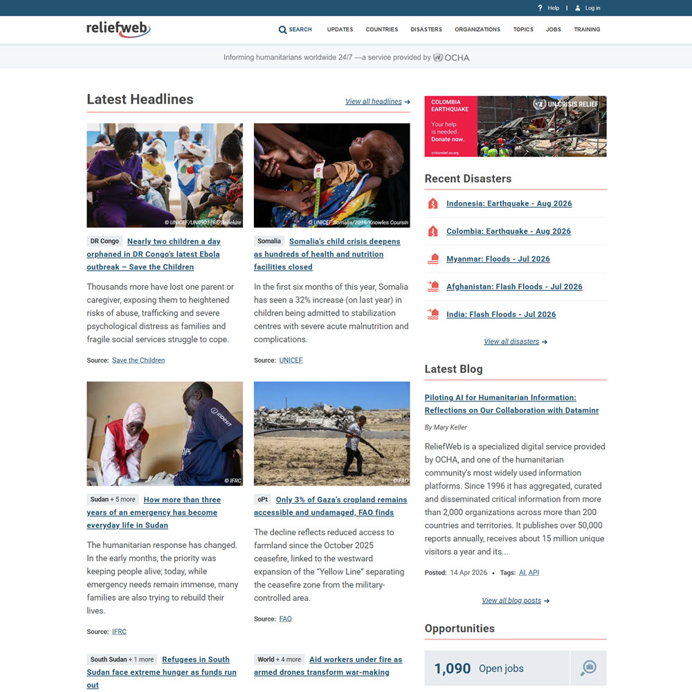
ReliefWeb is a global humanitarian information website managed by the United Nations Office for the Coordination of Humanitarian Affairs (OCHA). It provides timely access to humanitarian reports, maps, assessments, situation updates, disaster information, and analyses from thousands of trusted organizations and information sources.
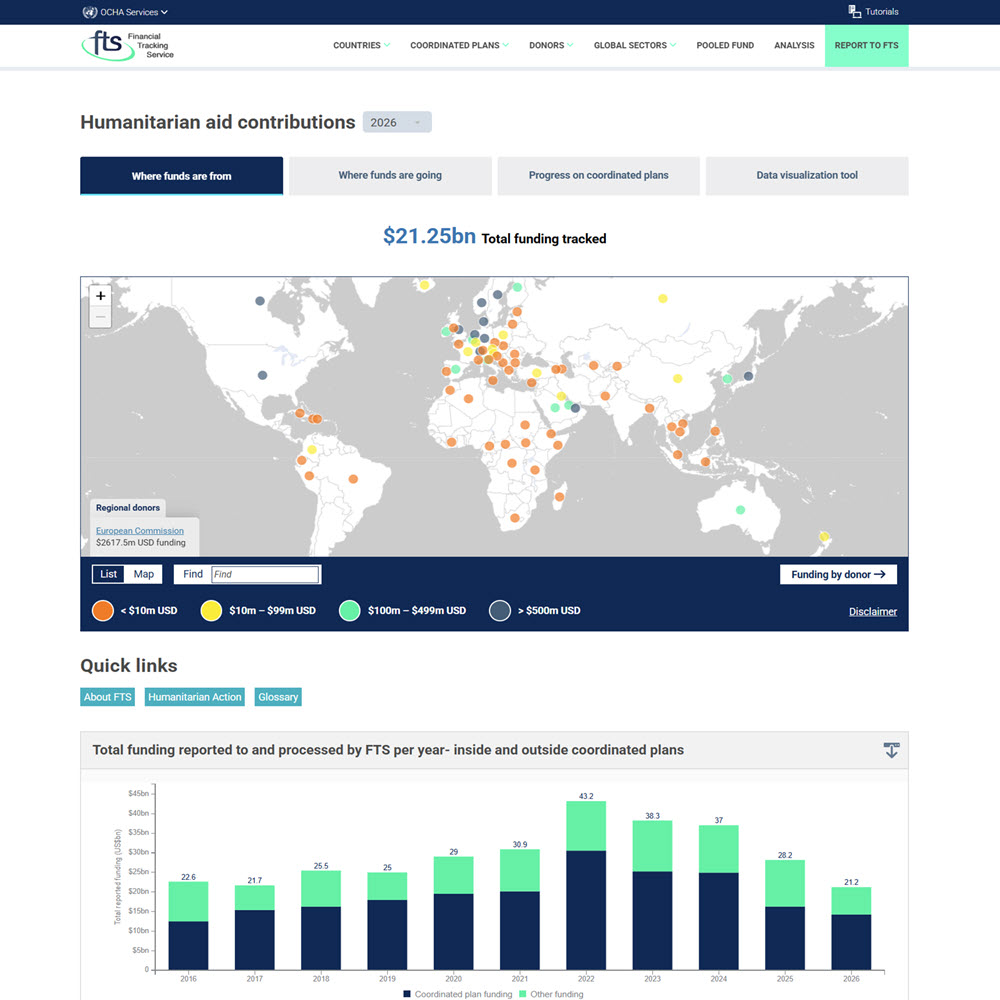
The UN OCHA Financial Tracking Service (FTS) is a global platform that tracks and reports humanitarian funding flows for emergencies and crises around the world. Managed by the United Nations Office for the Coordination of Humanitarian Affairs (OCHA), it provides regularly updated data on donor contributions, funding requirements, humanitarian appeals and response plans, recipient organizations, countries, and sectors.
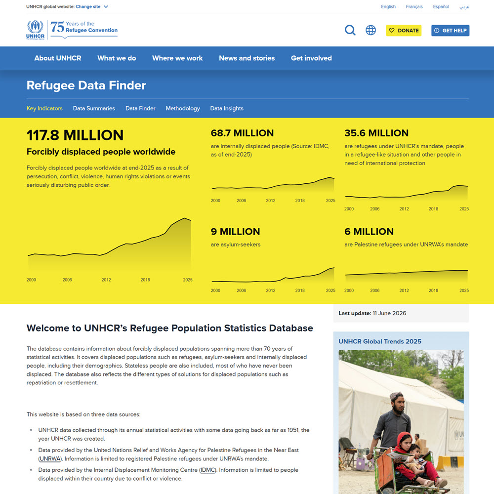
The UNHCR Refugee Population Statistics Database (Refugee Data Finder) provides comprehensive global statistics on refugees, asylum-seekers, internally displaced people, stateless populations, and other people affected by forced displacement. Users can examine populations by country of origin, country of asylum, year, population type, and demographic characteristics, as well as data on solutions such as voluntary return, resettlement, and naturalization.
International Development Data
[Place Bricks Template Here]
[Place Bricks Template Here]
[Place Bricks Template Here]
[Place Bricks Template Here]
[Place Bricks Template Here]
[Place Bricks Template Here]
[Place Bricks Template Here]
[Place Bricks Template Here]
[Place Bricks Template Here]
[Place Bricks Template Here]
[Place Bricks Template Here]
[Place Bricks Template Here]
[Place Bricks Template Here]
[Place Bricks Template Here]
[Place Bricks Template Here]
Mapping Data & Historical Maps
ArcGIS Living Atlas of the World is a large, curated collection of authoritative geographic datasets, interactive maps, and analytical layers designed for use within the ArcGIS platform. Maintained by Esri, it provides global information on topics such as demographics, climate, infrastructure, land use, and environmental change, allowing users to incorporate reliable spatial data directly into maps, dashboards, and GIS analyses.
The ArcGIS Living Atlas of the World is mostly free to browse, view, and use in public maps. However, accessing certain advanced layers requires a paid ArcGIS subscription.
[Place Bricks template Here]
Socioeconomic Data
[Place Bricks Template Here]
[Place Bricks template Here]
Research Methods
Research methods are the specific strategies, tools, and techniques researchers use to collect and analyze information to answer questions or solve problems. Research methods can be qualitative (interviews or observations), quantitative (numerical and statistical), or mixed methods (a mixture of both).
Sage Research Methods is an important resource for learning about research methods and can help you choose the methods best suited to your research question or project.
Sage Research Methods is an important resource for learning about research methods and can help you choose the methods best suited to your research question or project.
Sage Research Methods is a major subscription database that guides users in understanding research methodologies across different academic disciplines. It provides electronic access to reference books, journal articles, instructional videos, and other research methods resources.
Geography Research Methods
Most social science students are required to take at least one research methods course as part of a department's core curriculum, which introduces the basics of how research is done in a specific discipline. The following books offer clear, in-depth explanations of research design concepts, methods, and techniques used in geography research.
The icons next to each resource indicate its access requirements.
Open source/ Free
Subscription required

More than 2,200 years ago, the ancient Greek scholar Eratosthenes calculated the circumference of the Earth with remarkable accuracy—using only shadows, geometry, and the distance between two cities in Egypt. Learn More

Eratosthenes Teaching in Alexandria by Bernardo Strozzi (1635).Source Public Domain