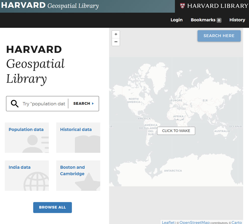
The Harvard Geospatial Library (HGL) is an online platform created by the Harvard Library that provides access to geospatial data, maps, and GIS (Geographic Information Systems) resources for research and teaching. Harvard affiliates have full access, however,
Public users can still discover metadata and, in some cases, access or download datasets depending on the license of the vendor.